Day 2
Sunday,
11 October 2009
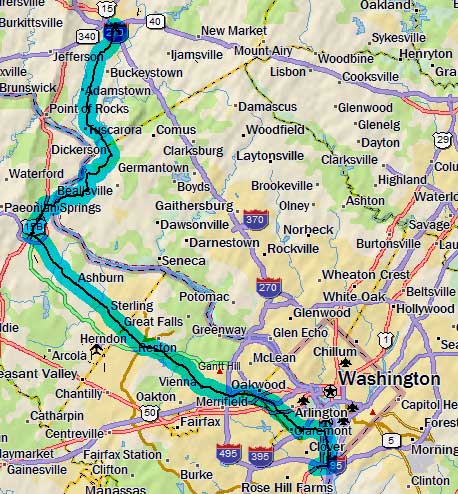
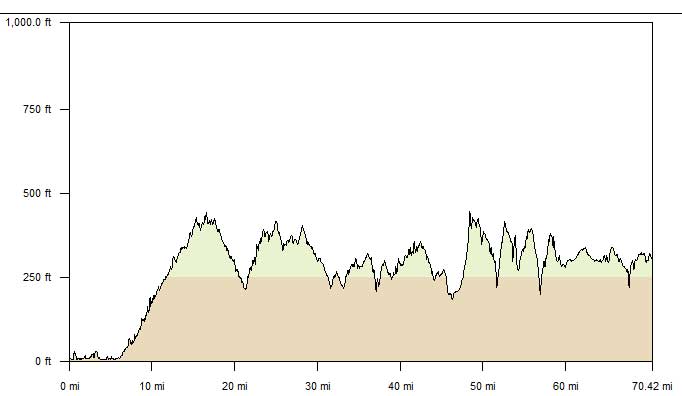
Alexandria, VA to Frederick, MD
70.2 miles, 6h02m, 11.6 mph
Elapsed Time: 7h30m, Max speed: 30.0mph
Total Climbing: 3568ft, Max elevation: 447ft
Total mileage: 126.6

We loaded up on food at the hotel's free breakfast and hit the trail at
about 8am. It was cool when we stepped outside so we donned our jackets
before we started. After about 400 yards I stopped and took mine off.
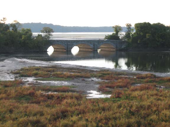
And I took this picture of the GW Parkway bridge over some creek.
We follwed the Mount Vernon Trail into and through Alexandria. On the
other side of town the trail comes very close to the river, and at
times even hangs out over the river. That was the closest we got to DC
(because the boundary runs to the high-tide line on the Virginia shore).
Just before we reached National Airport, we turned inland on the Four
Mile Run Trail. We stopped at Shirlington for a cup of coffee, and then
jumped back on the trail, which soon turned into the W&OD Trail.
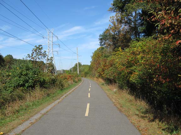
Typical W&OD scenery.
The W&OD is a hard-core trail. You don't find the usual crowds of
families with kids riding big wheels and mothers pushing baby
carriages. It is mostly cyclists and runners out for a workout. If you
see a baby carriage, chances are mom is running behind it. I suspect
this is because the trail is just not that interesting and the towns
are a reasonable distance apart. We rolled through Vienna, Reston,
Herndon, Ashburn, and then finally, Leesburg. In Leesburg we stopped
for lunch at a brick-oven pizza place.
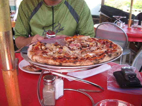
This was Mr. Balint's pizza. I had a similar one of my own.
After devouring our pizzas we rode a short distance to a pie place. I
had a slice of apple pie, Balint had pecan pie.
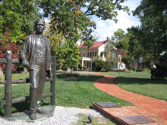
The pie place was across the street from the home of General George C.
Marshall.
You know, the Marshall Plan guy.
At Leesburg we left the bike paths and hit the roads...except for this
little path on the way out of town.
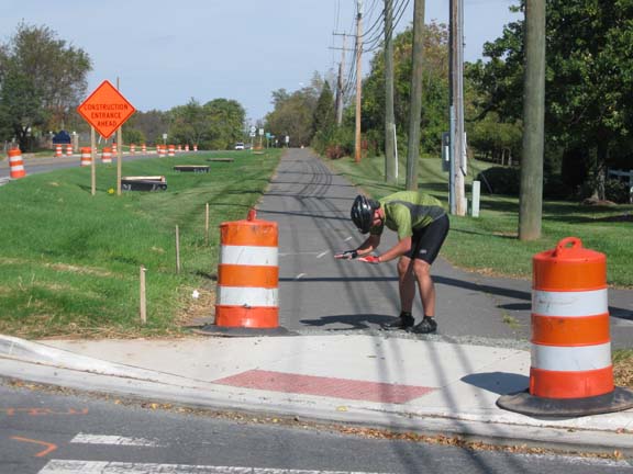
Mr. Balint expresses his deep respect for traffic control devices of
all kinds by
giving this traffic barrel the respect it deserves.
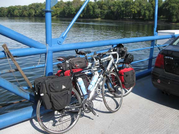
A few minutes later we crossed the Potomac at White's Ferry. There was
a long line of cars, but we rode to the front and jumped on the back of
the next boat.
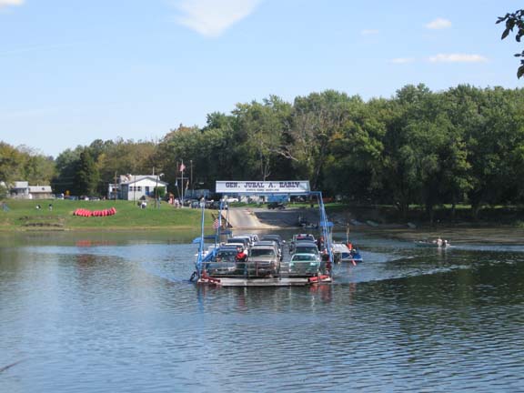
The boat is guided across the river by a cable, which you can see at
the lower left.
It is powered by a diesel engine. The fare for bicycles is $1.
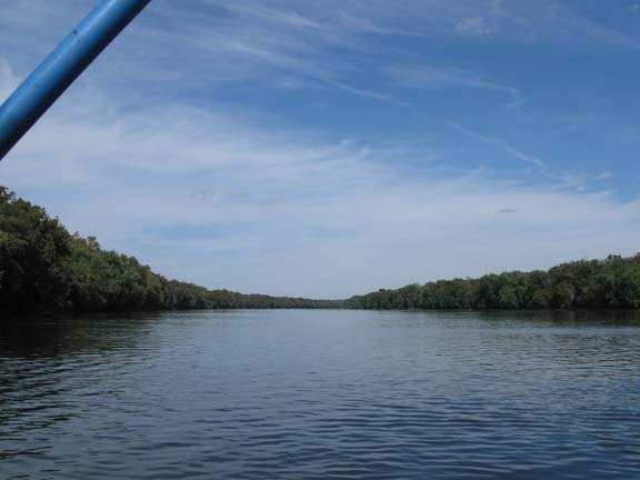
Looking up the Potomac from the ferry.
An easy quarter mile for the bikes.
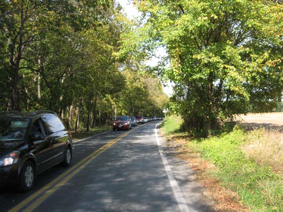
Traffic backed up on the Maryland side. The closest bridge crossing is
17 miles away at Point of Rocks.
Back in Maryland, we climbed up a big hill on Whites Ferry Road. Then
dropped back down on Martinsburg Road, then climbed back up again.
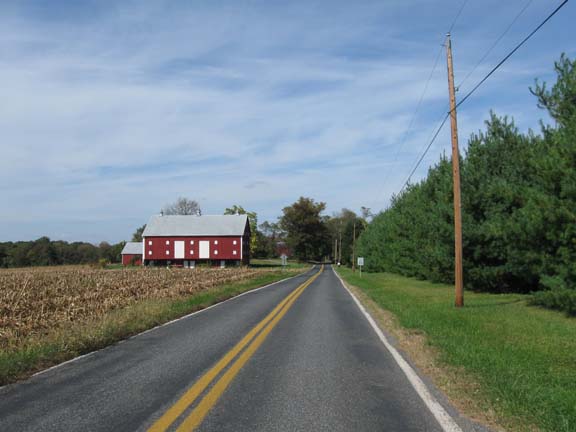
And we passed a farm.
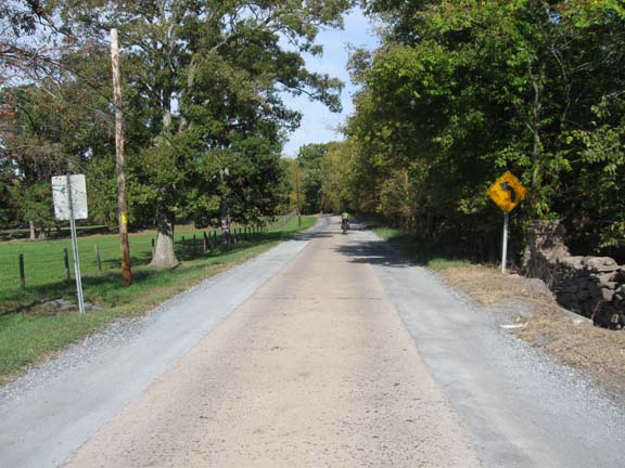
And we rode on this crazy concrete slab road. The trick is to stay on
the concrete
and force the cars onto the dirt.
We stopped at the store in Dickerson, and then tuned north toward
Frederick. New Design Road seemed to keep on climbing little by little
as we rode up the valley (although the profile shows that it didn't).
Finally reaching the greater Frederick area, we cut through some
industrial parks and found the Holiday Inn Express. Soon followed an
absurd dinner at the Double T Diner.
Next
"'Round DC 2009" Copyright © 2009 By
Bob
Clemons. All rights reserved.