Day 1
Sunday, 30 May 2004
Nanaimo, BC to Victoria, BC
65.0 miles, 4h37m, 14.1 mph
Elapsed Time: 7h38m, Max speed: 41.3mph
Total Climbing: 2711ft, Max elevation: 370ft
After months of planning the day was finally here. I woke up at 5:30
but managed to stay in bed until about 6:30. At about 7:00 I called JT
to get him started and by 8:00 we were eating breakfast in the hotel
restaurant. We didn't actually get started until about 9:20.
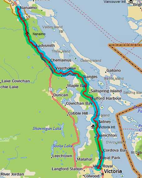
The Start: At the WWI Memorial in Nanaimo.
It was cool and windy, but it wasn't raining. The wind was out of the
south, which usually indicates bad weather, but also indicated that we
would have a headwind all day. We didn't really have an exact route
planned, so we just started following the bike route signs through town
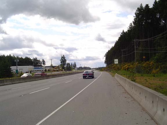
and eventually we ended up on Hwy 1. Woo-hoo!
This is a bike route.
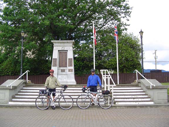
We got off the highway at Ladysmith and took a back road along the
coast through Saltair and Chemainus to Crofton, where we would take the
ferry to Saltspring Island. We arrived about 40 minutes before the next
boat so we had to cool our heels waiting at the ferry landing.
Our ship comes in.
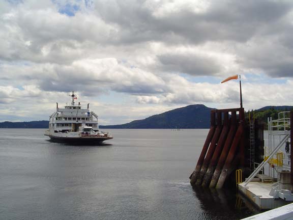
The boat ride took about 20 minutes. I took a bunch of pictures--you
know, the way you do at the beginning of a vacation before all the
scenery starts to blur together. I couldn't help but notice that all
the islands were hilly.
Typical scenery amongst the Gulf Islands.
The ferry that we had to catch on the other side of Saltspring Island
only runs every two hours, so it was very important that we get there
in time. The next boat was at 2pm and we arrived on the island at
12:30. This gave us 90 minutes to cover 21km, which is something like
12 or 14 or 16 miles,...or something, and the island looked hilly.
It was hilly. We reached the tourist town of Ganges after a short climb
and descent, and then we started seriously climbing up to the backbone
of the island. My altimeter showed a maximum elevation of 370 feet, but
that had to be off by at least 40 feet. The altimeter determines
elevation by changes in barometric pressure based on an initial daily
altitude, which I had set at Nanaimo. In the meantime, the weather must
have been improving because when we reached the ferry terminal at
Crofton our altitude reading was 39 feet below sea level. (By the time
we reached Victoria it read -59 feet!) If the weather had been getting
worse we would have climbed more.
There was a screaming descent off the hill and a long, flat approach to
Fulford Harbour, where we were to pick up a ferry to take us back to
Vancouver Island at Swartz Bay. As we neared town we could see a ferry
approaching the terminal. I didn't know what time it was so I started
hammering toward the dock. There was a sign pointing toward the town
that said "Fulford Harbour 2". I had to remind myself that it was only
2 kilometers, not 2 miles. Then as I neared the top of a small climb,
another sign said "Ferry Terminal 8km." I couldn't believe it! I could
see the boat and there was no way it was 8km away. It turns out the
sign said ".8km". Anyway, we rushed to the terminal so that we could
wait a half hour before we were allowed to board.
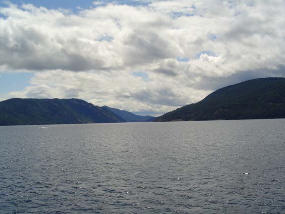
I wasn't terribly impressed with Saltspring Island. It's a place where
people live just like anywhere else. There was quite a bit more traffic
than I expected and the scenery was not terribly inspiring. Of course I
was only there for about an hour.

Looking back at Saltspring Island
Bob on the boat to Swartz Bay.
We debarked at Swartz Bay at about 2:35pm and after some initial
confusion (and directions from a passing cyclist) we managed to find
the Lochside Trail, which was to take us all the way to Victoria. We
were planning on eating lunch at the first opportunity, but when the
opportunity arose at Sidney, we decided to just grab a quick snack and
keep riding. This was a mistake for JT, who was woozy at the end of the
ride. I ate a bag of nuts, which hit the spot.
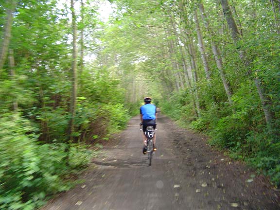
The Lochside Trail is the weirdest bike path I've ever ridden. It
constantly changes surface and quality. Just when you get used to
riding on the road, it ducks into the woods and changes to gravel. When
you get used to the gravel, it changes to pavement, then to a bike lane
on the road, then a wooden walkway, then dirt, then it runs up the
sidewalk.
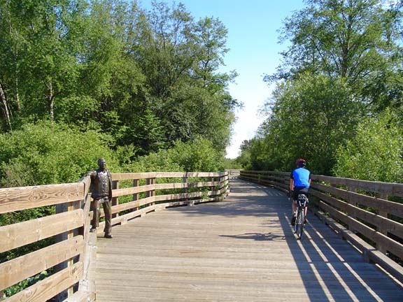
Lochside Trail as dirt in the woods.
As a walkway across a swamp. The guy
on the left is a statue. The guy on the right is JT.
I took several other pictures of the many faces of the Lochside Trail,
but they're just not very interesting.
Finally I turned on my cell phone and called Linda. Naturally, I was
roaming because I was in Canada, and my nationwide calling plan is
pretty strict about which nation I am calling from. I told her that we
were within 10 miles of the end of the day. My initial prediction had
been 60-65 miles. The final mileage was 65.0. Sometimes I even impress
myself.
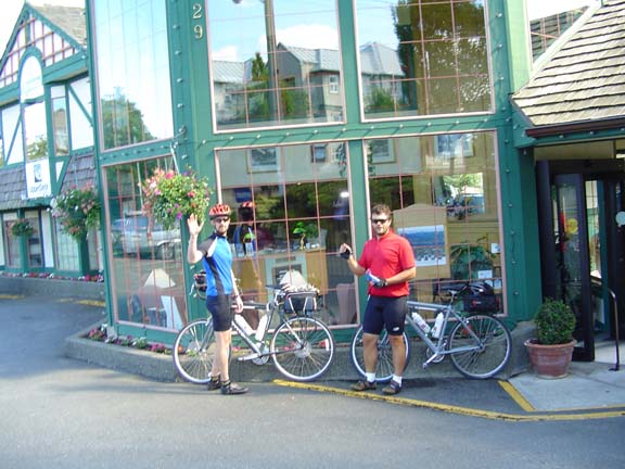
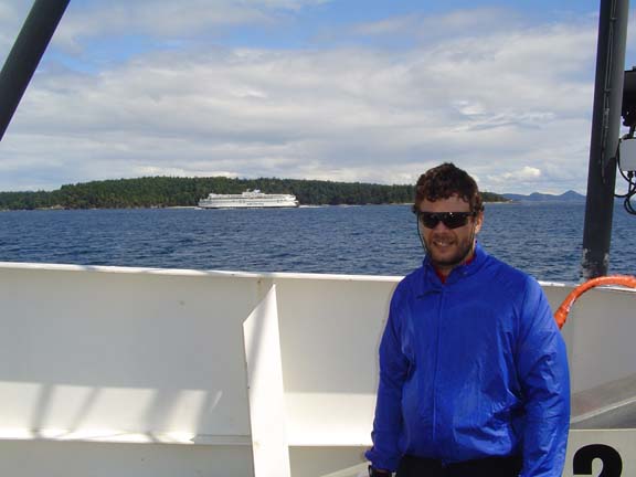
Woo-hoo! One day down, 36 to go. Still
feeling good.
We drove in the Suburban to a steak house and chowed down a large meal.
It was still light outside when we turned in.
Previous
|
Next
"JT and BC's 2004 Pacific
Coast
Ride" Copyright © 2004 By Bob Clemons. All rights reserved.