Day 14

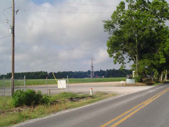
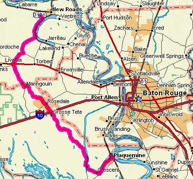
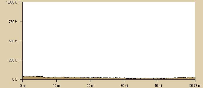
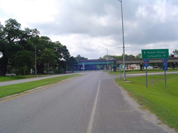
Thursday, 5 June 2008
  New Roads, LA to Plaquemine, LA
50.7 miles, 4h45m (est.), 10.7 mph (est.)
Elapsed Time: 5h36m, Max speed: 17.0mph (est.)
Total Climbing: 488ft, Max elevation: 43ft
Total mileage:
828.9


Copyright 2002 DeLorme. Topo USA. Data copyright of content owner.


My rear tire was soft this morning when I loaded up the bike. I really should have changed the tire in the comfort and coolness of the motel room rather than wait for it to give out on the road, but I was lazy. So I just pumped it up. As it turned out, the tire survived and I didn't learn my lesson. When I got to Plaquemine I removed the tire and found a pointly piece of metal in there. I don't know why the tire didn't go flat.

But it was not all miracles and goodness today. Exactly 14.8 miles into the ride I took a break and leaned the bike against myself--there being nothing else convenient nearby. I felt it start to fall over so I grabbed for it. Well, I grabbed the wires for the bike computer and yanked them out. So from now on all the distances and altitudes are based on TopoUSA numbers. The average speed is based on an estimate of the my goofing off time subtracted from the elapsed time. So basically all my numbers are made up. And no, the bike did not fall.

Today's weather was about the same as yesterday, except windier. Fortunately, the route took me mostly through areas with plenty of trees, so I was seldom fully exposed to the headwind. Also, today's ride was much shorter.

Today's ride was also much less scenic. For example:


Here's an oil rig.


Here's the Interstate 10 interchange.

I jammed a ridiculous amount of fluids into my bags before I started off. As it turns out, there were plenty of stores and several small towns. My favorite town was Grosse Tete, which I believe means "fat head." I also rode for many miles along the Bayou Grosse Tete.
 

For some reason they don't like cyclists riding on the draw bridges.
I think they want you to walk, but it's really not clear.


This is Bayou Grosse Tete.

The route turned slightly north so I had a big push from the wind coming into Plaquemine. According to Google Maps, the Best Western was at the east end of town, but the addresses on the buildings suggested that this was not the case. I stopped at a bank and asked a "non-bank-related question." They said the BW was at the west end of town. They were right.

Linda flies down tomorrow and meets me somewhere on the route. In the meantime, I've got laundry to do and food to eat.


Next

"NatchezTrace Tour 2008" Copyright © 2008 By Bob Clemons. All rights reserved.