Day 6
Wednesday, 28 May 2008
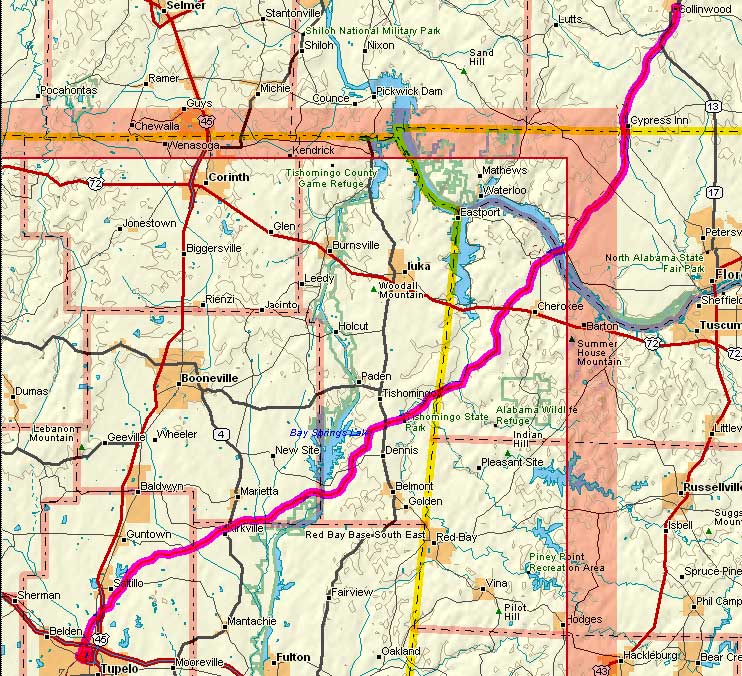
Collinwood, TN to Tupelo, MS
98.9 miles, 7h49m, 12.6 mph
Elapsed Time: 9h39m, Max speed: 34.5mph
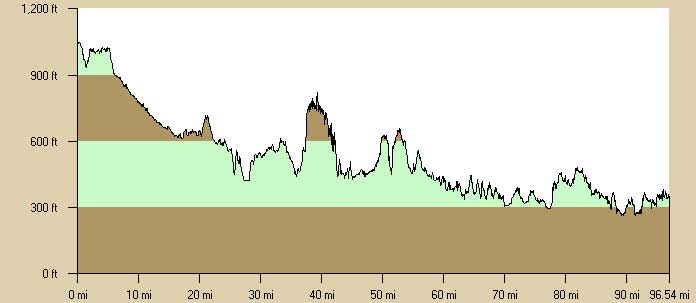
Total Climbing: 2470ft, Max elevation: 1050ft
Total mileage: 371.7

So I went nuts. Rather than take it easy I had to ride all the way to
Tupelo to get back on schedule. Now I'm so beat that I'll have to take
a short day tomorrow. We'll see about that.
It was pouring rain when I awoke early in the morning. I grabbed some
breakfast at the local gas station. Collinwood is one of those towns
where everybody knows everybody, and everybody looks the same. Whenever
I walk into a place everybody turns and looks at me. They probably
expect that they are going to know whoever it is that's walking in. It
must be quite a disappointment to see me.
Anyway, by about 7:30 the rain ended and I hit the road. I had a vague
plan to camp at Tishomingo State Park, or maybe get a hotel room in
Belmont, which is a few miles off the Trace. The longshot was to ride
all the way to Tupelo.
For the first few miles I rode in a mist, then a little rain, then it
cleared, then more rain....it went on like that all day.
I met my first touring cyclists early in the day. They were on their
way back on an out-and-back from somewhere to somewhere else. I'm not a
good listener. I met another guy at the end of the day at the Tupelo
vistitor center. He was riding to St. Louis to start a ride to Portland
on the Lewis and Clark route. I wish I could do that.
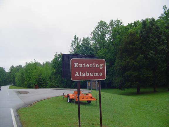
Soon I ran out of Tennessee.
So far all the dog problems have been in front of houses. The dogs that
I encounter roaming the Trace have been uninterested in me (or maybe
they weren't on their turf so they had nothing to defend).
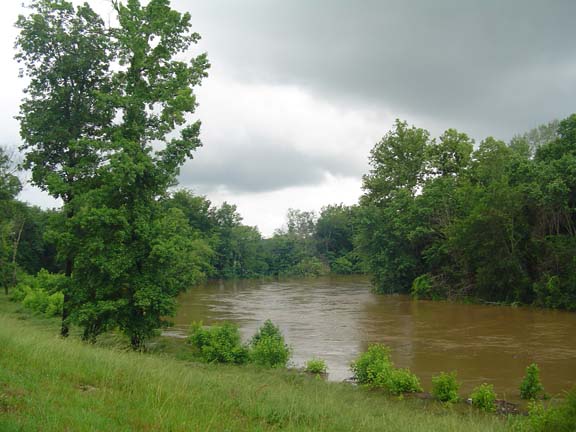
After twenty miles of mostly downhill I met up with my old friend the
Tennessee River. It's much bigger here than in Chattanooga...certainly
due to some TVA dam.
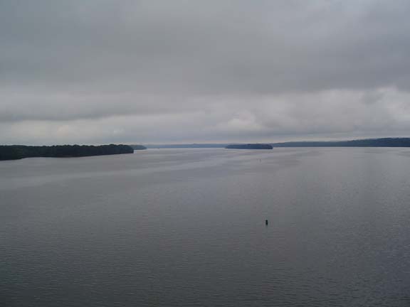
Looking back up the Tennessee in Alabama.
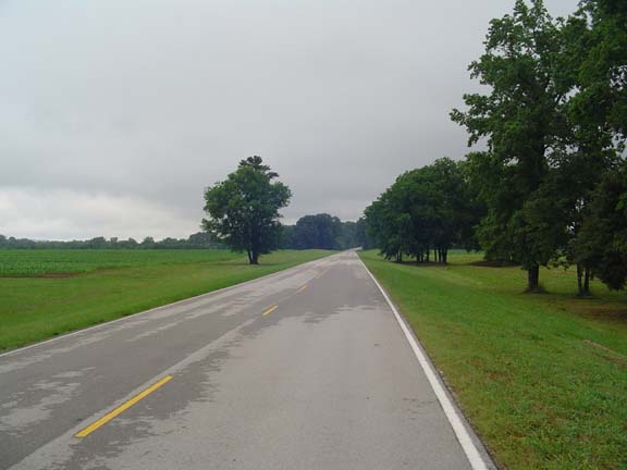
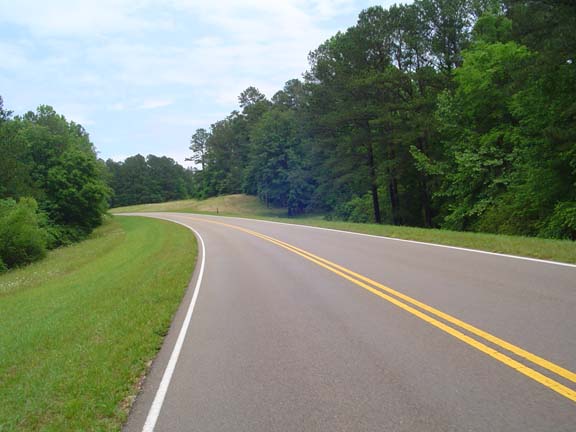
Token shot of the road. Note that it is starting to dry.
The streams are very full though.
The Trace only cuts across a little bit of Alabama.
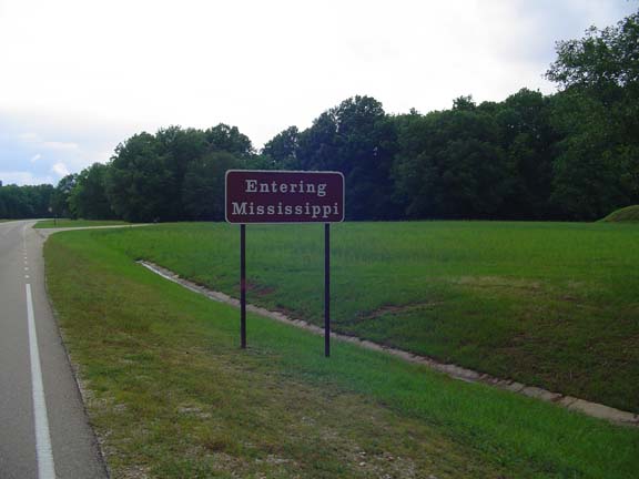
This is the first time I've ever been to Mississippi. Now the only
states I've never visted are North Dakota, South Dakota, and Hawaii.
I was sleeping and almost missed the 300 mile marker.
It's that little stub in the distance. Trust me.
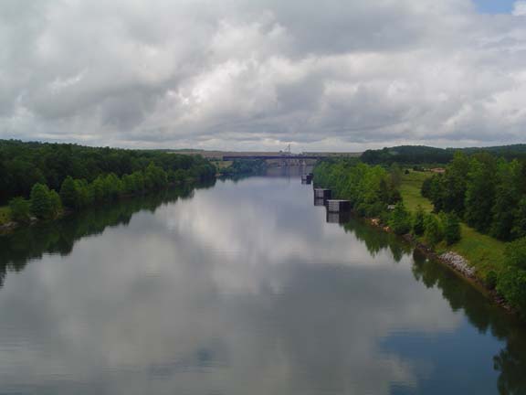
This is the Tennessee-Tombigbee Waterway.
It was a $1.8 billion pork project that connects the Tennessee River
with the Gulf of Mexico.
It was supposed to provide an alternative to the Mississippi River for
barge traffic.
No one uses it.
I got a nice picture though.
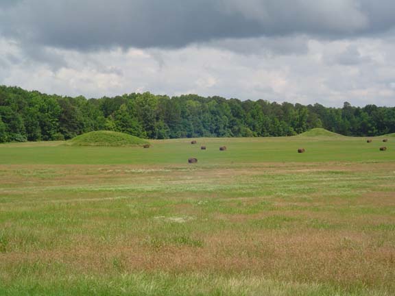
These are the Pharr Mounds.
They are about 2000 years old and built by, well, mound builders.
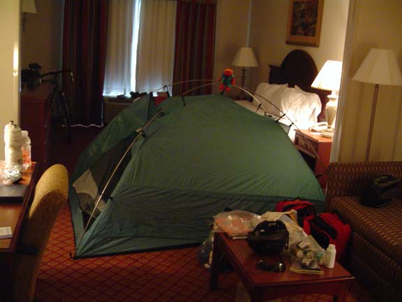
The tent seems so small when I'm in it.
I haven't figured out what I'm going to do tomorrow, but I probably I
won't have Internet access.
Next
"NatchezTrace Tour 2008" Copyright © 2008 By
Bob
Clemons. All rights reserved.