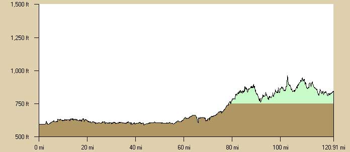
But I would like to, once again, point out the idiocy of the
placement
of the rumble strips.
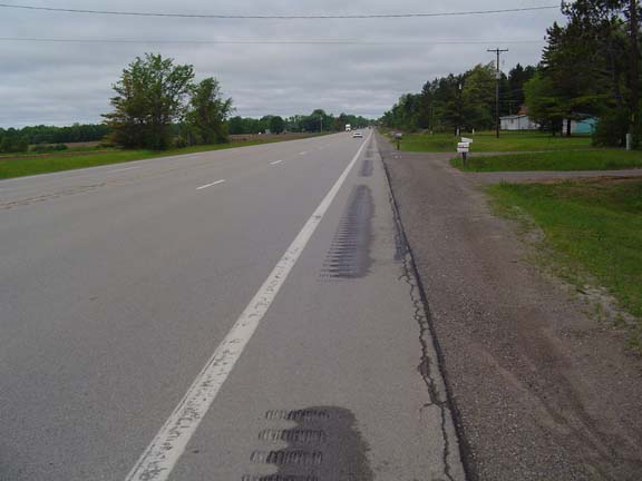
I doubt they would sell directly to a bear.
I passed through Omer (the smallest city in Michigan), Standish
(which
had a cool railcar exhibit), and Pinconning (the cheese
capital).
Pinconning, as a cheese town, naturally had giant mice and cows,
but I
didn't photograph them, being engrossed in my bike computer
troubleshooting. I pushed on to Bay City, and was finally doing
the
ride
I intended to do today.
Bay City was a mess of traffic. I worked my way through town and
out
the other side.
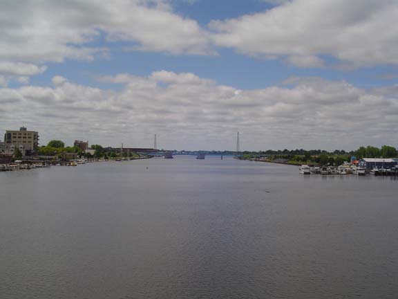
Crossing the Saginaw River.
Twenty miles later I rolled into Frankenmuth, a little piece of
Bavaria
in Michigan. You wouldn't mistake it for Germany, but they make
an
effort.
All building must look "German," no matter how silly.
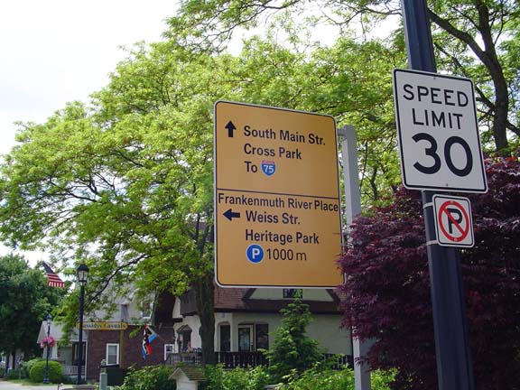
The signs are a nice touch.
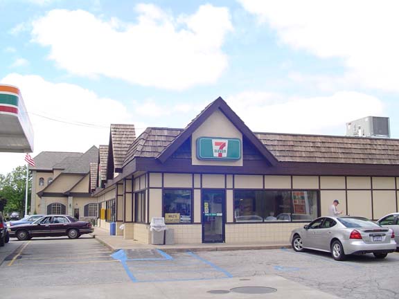
I ate lunch (at 2pm) at a place
across
the street from the Bavarian Inn. Had the Giant Fish
Sandwich.
Then I rode to Millington, which according to the Michigan
Regional
Bicycle Map, has an unpaved bike path the runs to Otter Lake
and
Columbiaville. But there was no bike path in Millington, so
I worked my
way via the grid-o-roads to Otter Creek. To my surprise,
there was a
trail there, but it was not unpaved. And it ran to
Columbiaville.
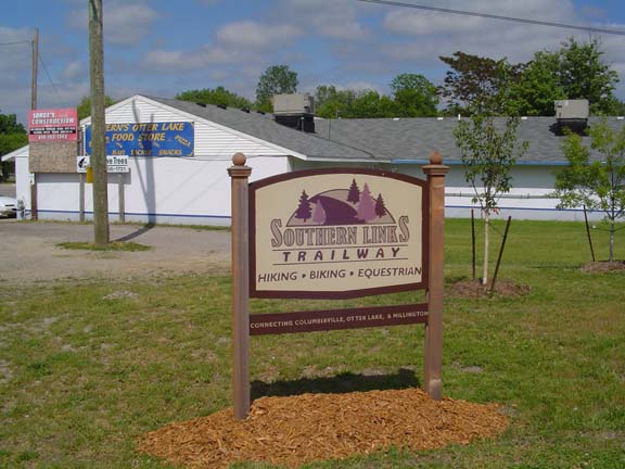
The sign says the trail connects Millington, Otter Lake, and
Columbiaville.
It lies about Millington.
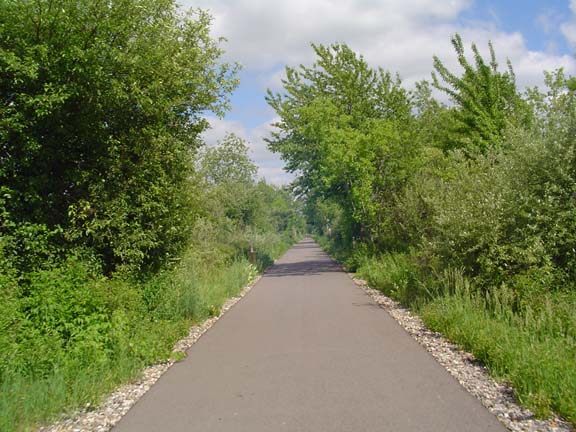
This is an "unpaved" trail.
So, I wonder why the Michigan
Bicycle
Map claims that there exists unpaved bike paths in places
where there
are no bike paths. Or where there are paved bike paths? What
is the
purpose of the Michigan Bike Map? Surely not to help people
plan bike
trips. After I reached Columbiaville, I headed to a place
called Lum to
pick up another "unpaved" trail to Imlay City.

This is also an unpaved bike trail.
Needless to say, right now I'm not very happy with MDOT and
their
worse-than-useless bicycle maps. But what do you expect from
a
Department that thinks so little of people that it thinks it
needs to
post signs like this:
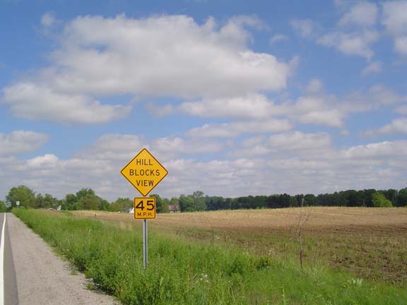
You shouldn't have a driver's license if you haven't
grasped the basic idea that you can't see through the Earth.
I struggled in to Imlay City and to the Days Inn. Once again, I
picked
the motel with the longest walk to food. But I walked and I ate,
then I
discovered that the wireless doesn't work in my room and I'll
have to
go to the lobby to upload this. How inconvenient. Good thing I
requested a "business" room. Update: It's worse than that: the
wireless
doesn't work at all. Apparently it's a new provider. Now I'm
going to
have to go searching around town for WiFi just to make my
lodging
arrangements for tonight. Thank you Days Inn!
Tomorrow I cross into Canada. We'll see how that goes.