Day 18
Monday, 22 Jun 2015
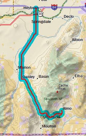
Burley, ID to Almo, ID
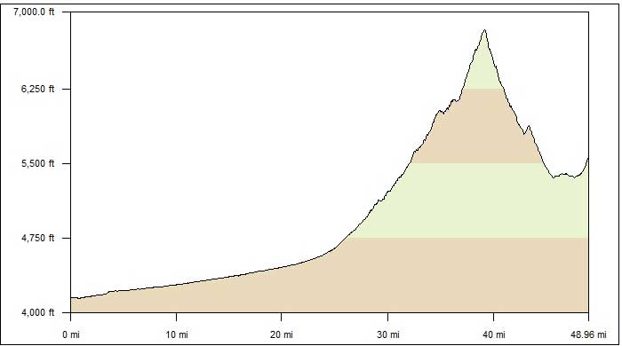
49.4 miles, 5h55m, 8.3 mph
Elapsed Time: 7h38m, Max speed: 20.3 mph
Total Climbing: 2881ft, Max elevation: 6731ft
Total mileage: 1044.3

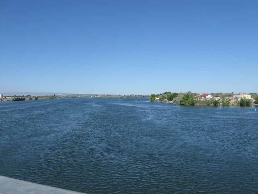
The day started with my fourth and final crossing of the Snake
River on this trip. Not much of a gorge here.
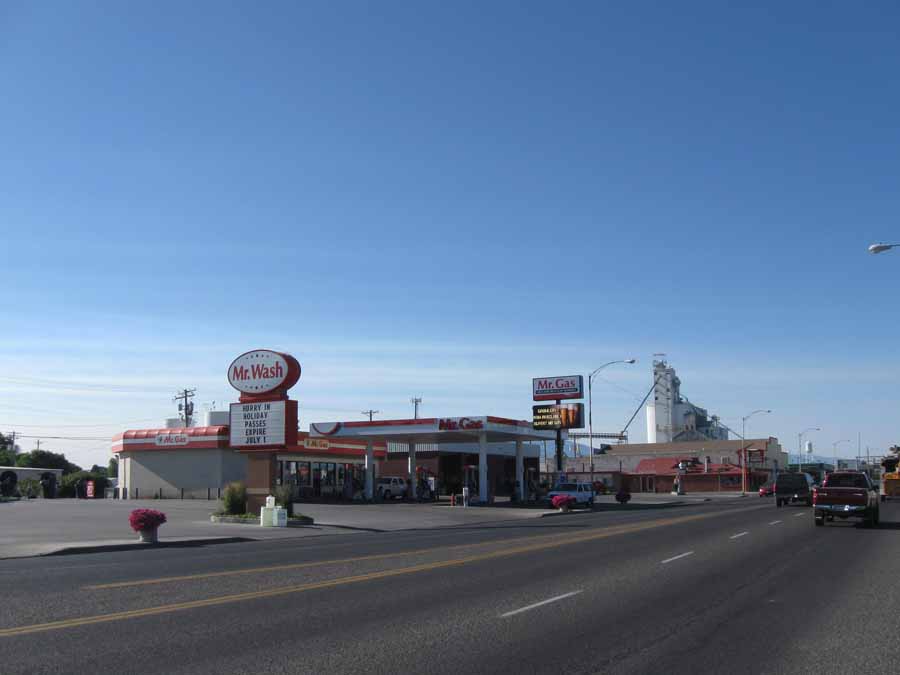
It's good to see that Mr. Wash and Mr. Gas are on good terms in
Burley.
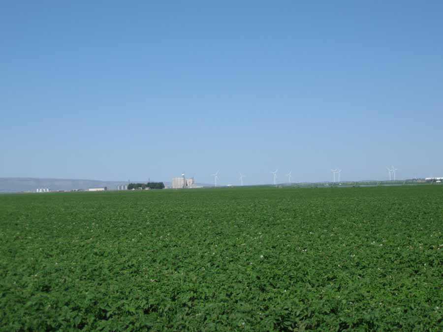
Heading south on my way to City of Rocks National Reserve. I'm
fairly confident these are potatoes.
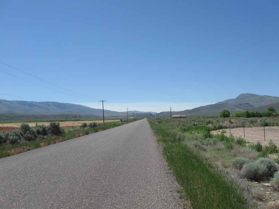
I ate a quick and early lunch in Oakley, then headed up Birch
Creek Road. I noticed no birches.
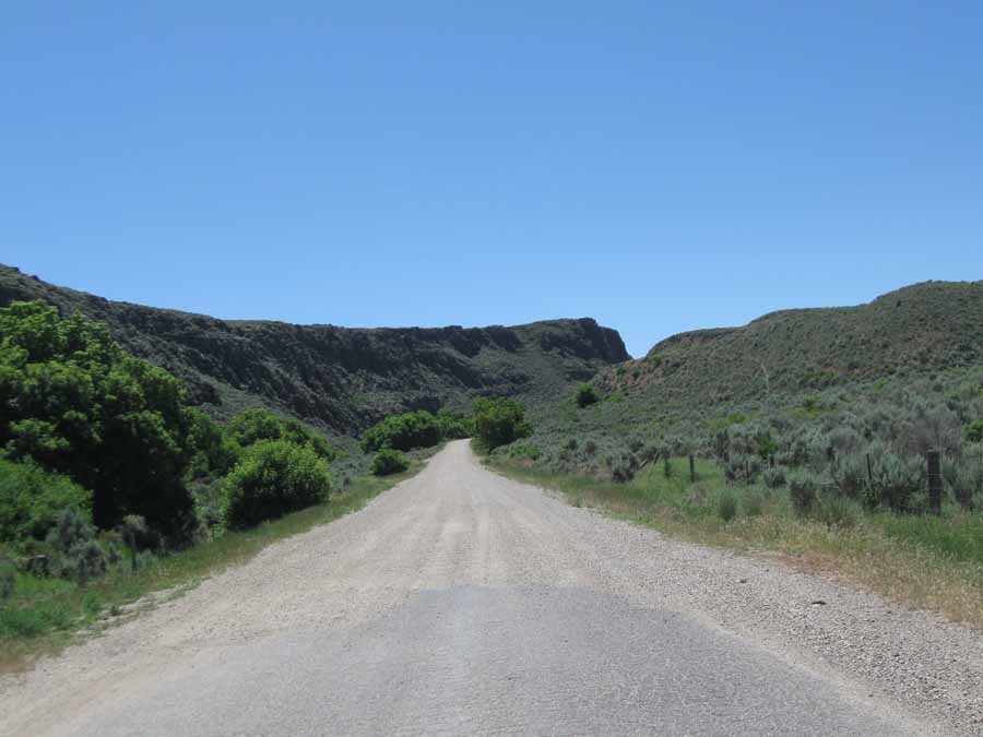
And then the road turned to gravel. I knew this would happen, but
I didn't think the road would suck as badly as it did.
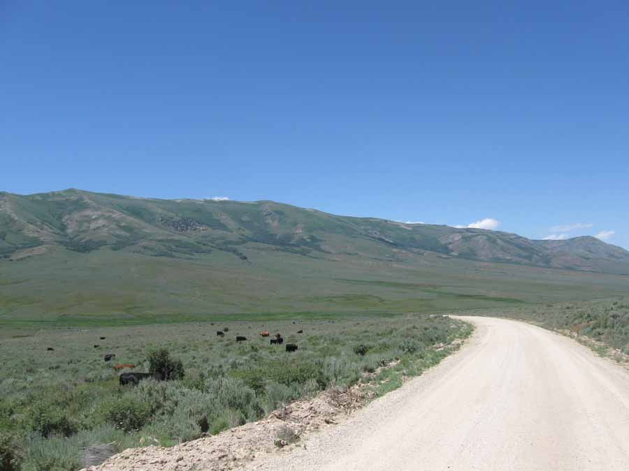
Of course, it was all uphill. The cars that passed me from behind
usually slowed down so they wouldn't dust me to bad.
The pickup trucks coming toward me generally blasted on by in a
shower of pebbles and dust.
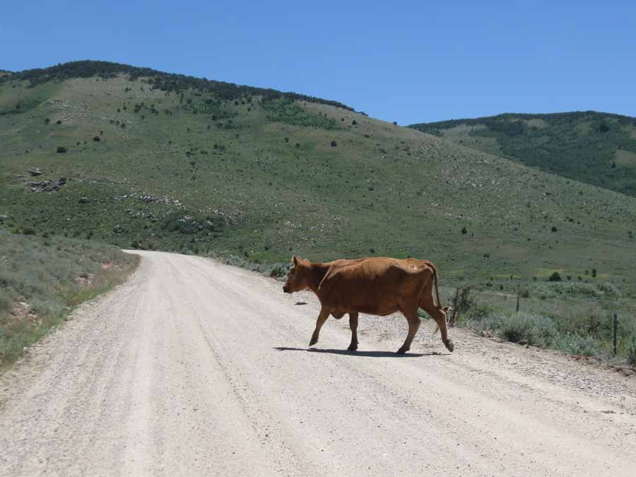
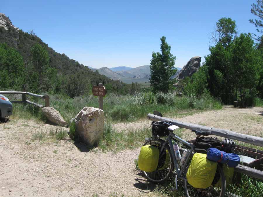
Eventually I turned on to Emery Canyon Road, which was less
washboardy, but more cattle infested.
There was a brief standoff with this one, but you can see who
backed down.
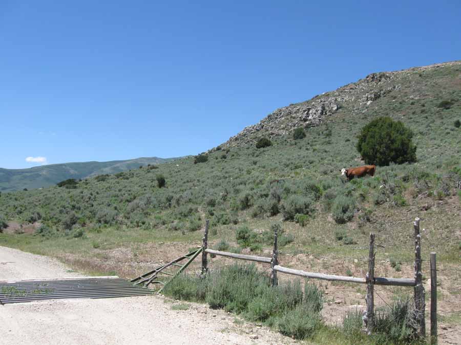
Then I crossed the cattle grate--escaping the bovine menace. Heh,
heh.
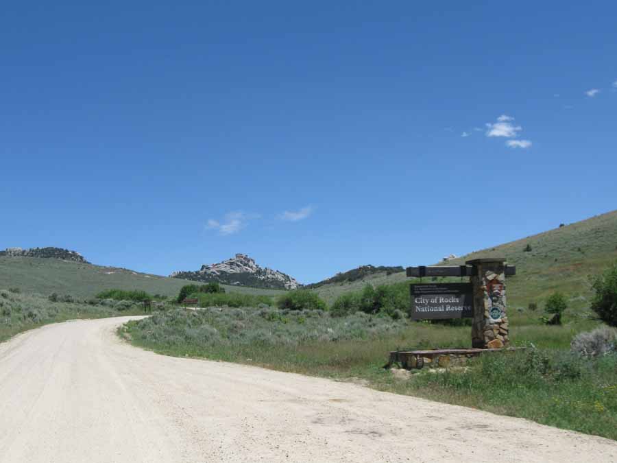
And I entered the scenic City of Rocks, a.k.a. New Rock
City...like in the Flintstones.
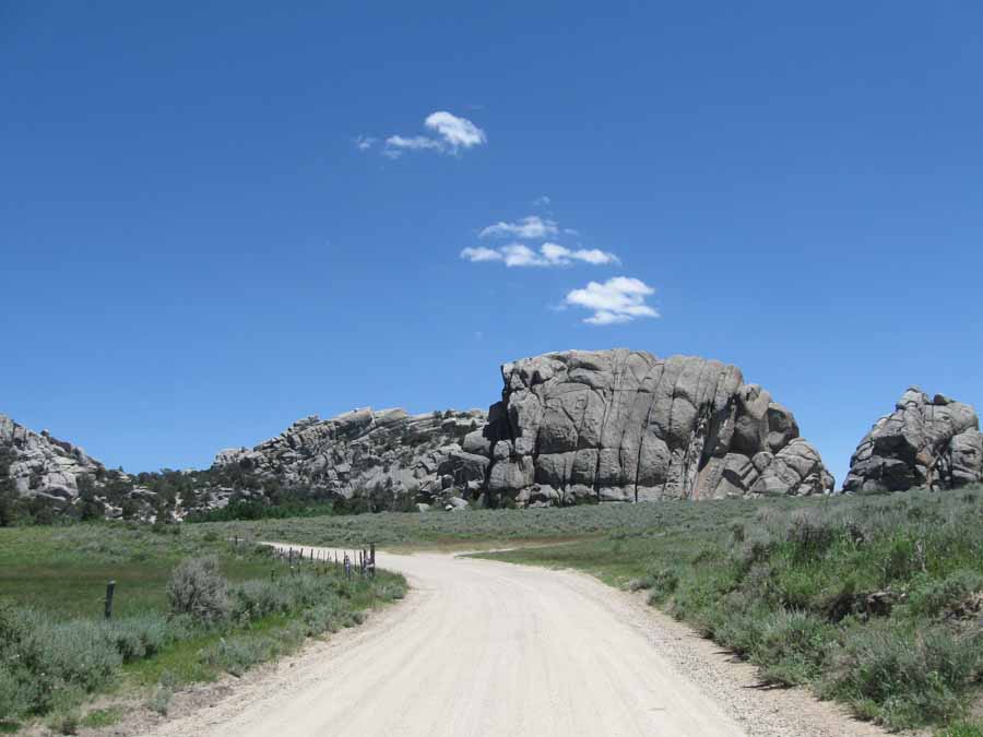
I think that one was Breadloaf Rock. Something like that.
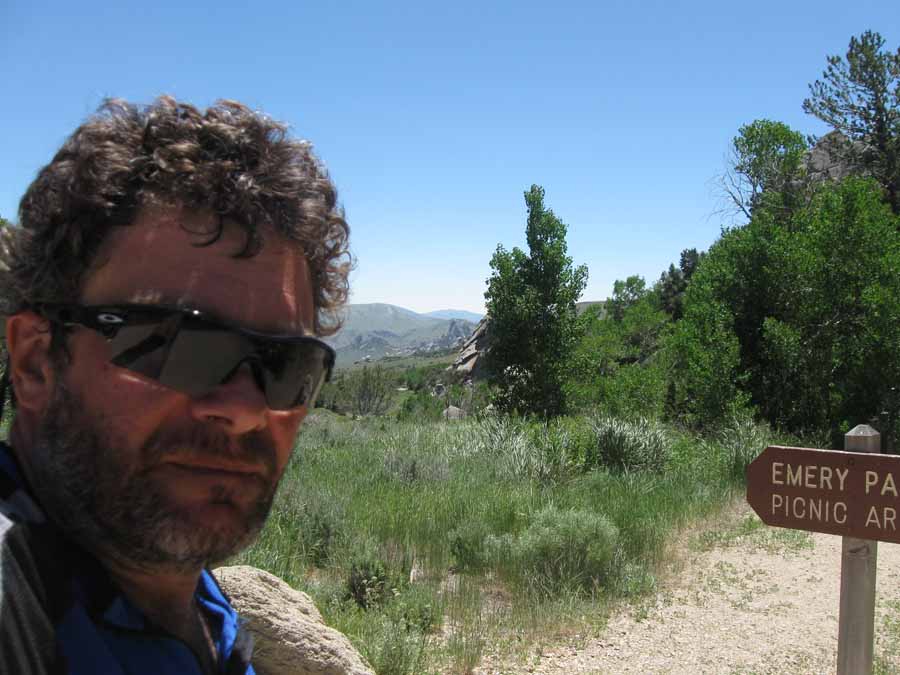
Celebrating the end of the climb with a selfie. I need a shave and
a haircut. And a beer.
There was a hand pump here that dispensed the coolest, crispest
water. I filled both my bottles. If it wasn't miles away up some
of the crappiest roads I've
ever cycled, I'd go back and get more right now.
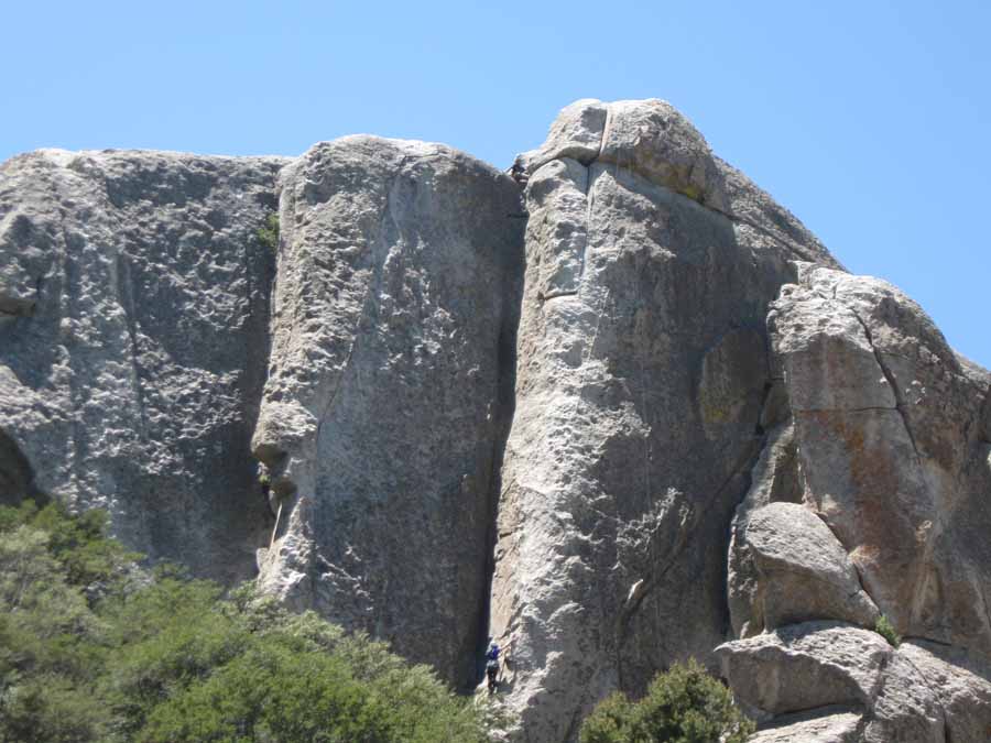
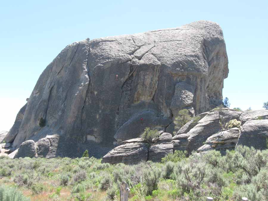
This place is all about camping and rock climbing. There are
campsites among the rocks, and people climbing all over them too.
There are at least two people in this picture.

Did I mention that the road going down was terrible. There was no
payoff for all the climbing, just sore hands from braking.
If I got going even moderately fast I could shake all the gear off
my racks and bust something. Not to mention crash into
a very large rock.
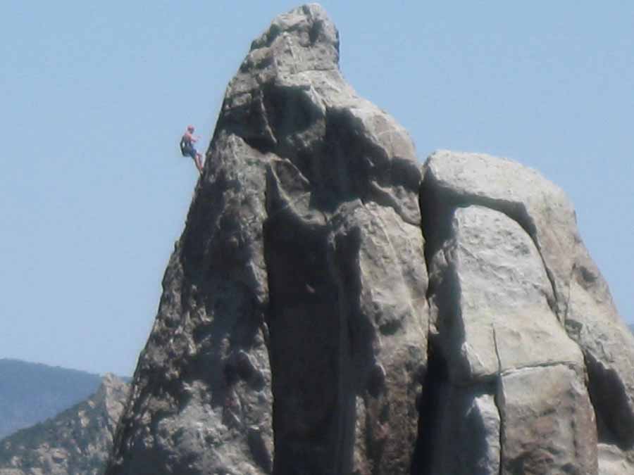
Not bad for a point-and-shoot telephoto effort. And a good climb
too.
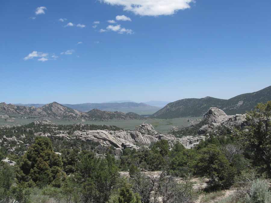
Looking east toward my campsite and the road to Salt Lake.
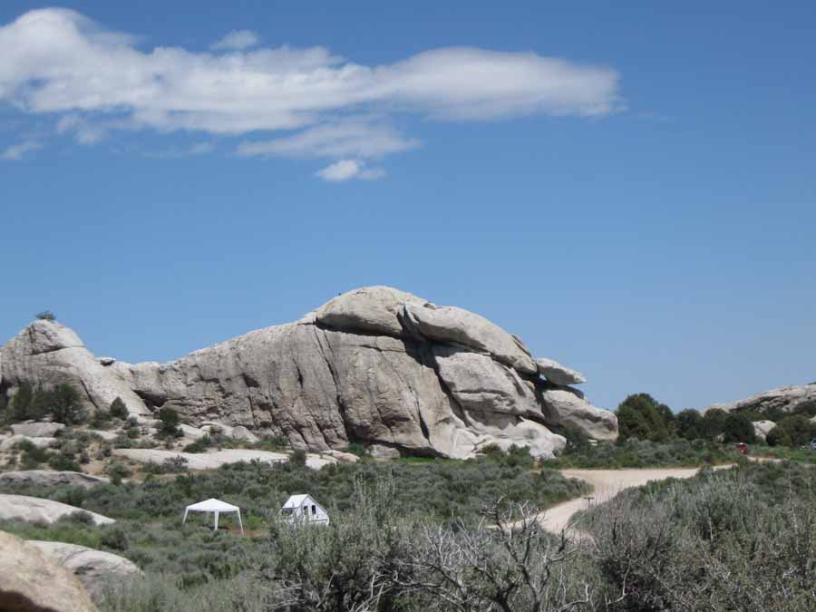
I thought this would be called Elephant Rock...
But it turns out this is Elephant Rock. I guess I can see it.
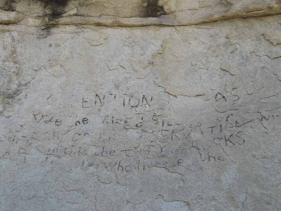
California Trail settlers inscriptions on Camp Rock (or Register
Rock). They say the settlers likes to camp in the City of Rocks
because the interesting features contracted nicely with the
monotony of the plains. And because there was water.
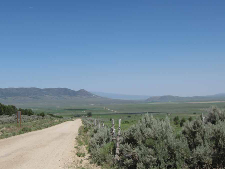
That dirt road in the distance is my route for tomorrow. I think I
might re-route my trip. I wonder if anybody would think I'd
flipped if I
went to Snowville via Elba. Seriously it's 20 miles longer but it
would all be on pavement.
I stopped at the visitor center and picked up the key to my yurt.
That is one huge key fob. I wonder if that is so you don't
lose it down a cattle grate.
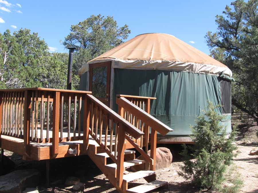
And this is my yurt. It's warm in here, but there are no bugs.
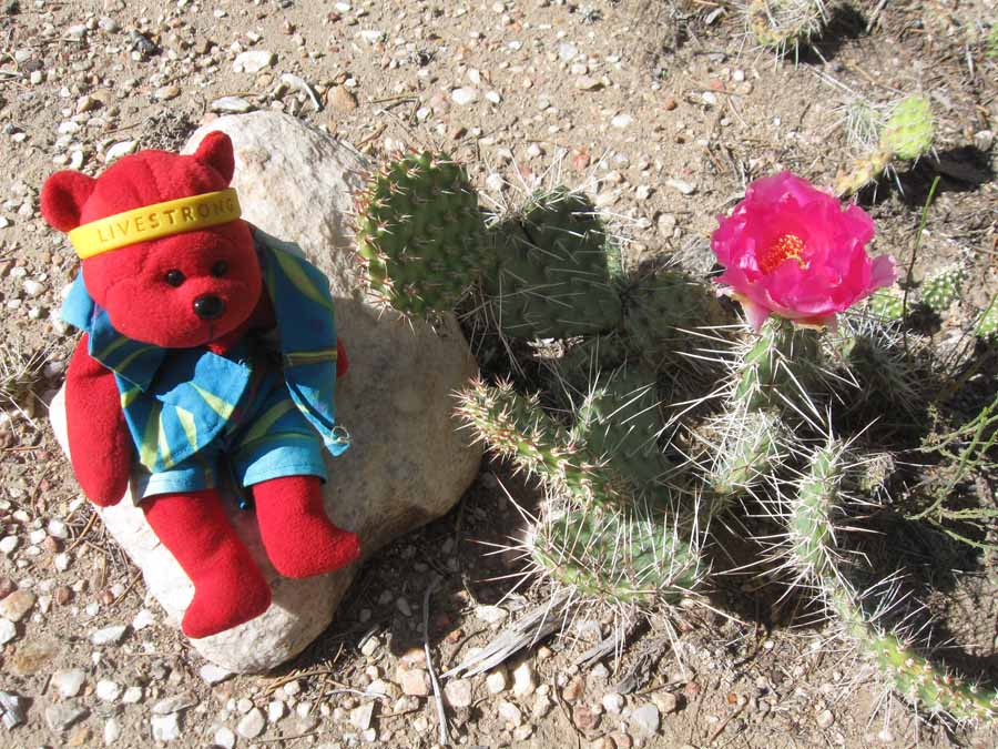
And the desert is blooming with red things for some reason.
Next
"Northwest Tour 2015" Copyright © 2015 By Bob
Clemons. All rights reserved.