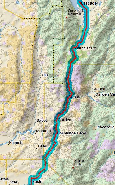
Day 12
Tuesday, 16 Jun 2015
Cascade, ID to Eagle, ID
72.8 miles, 5h55m, 12.3 mph
Elapsed Time: 6h52m, Max speed: 43.9 mph
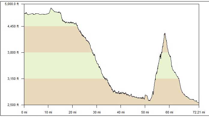
Total Climbing: 2277ft, Max elevation: 4890ft
Total mileage: 749.5

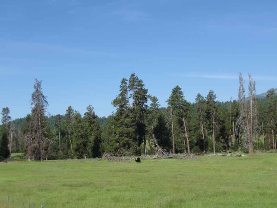
The day started with a nice run across the prairie. Not much going
on. At least one cow was paying attention.
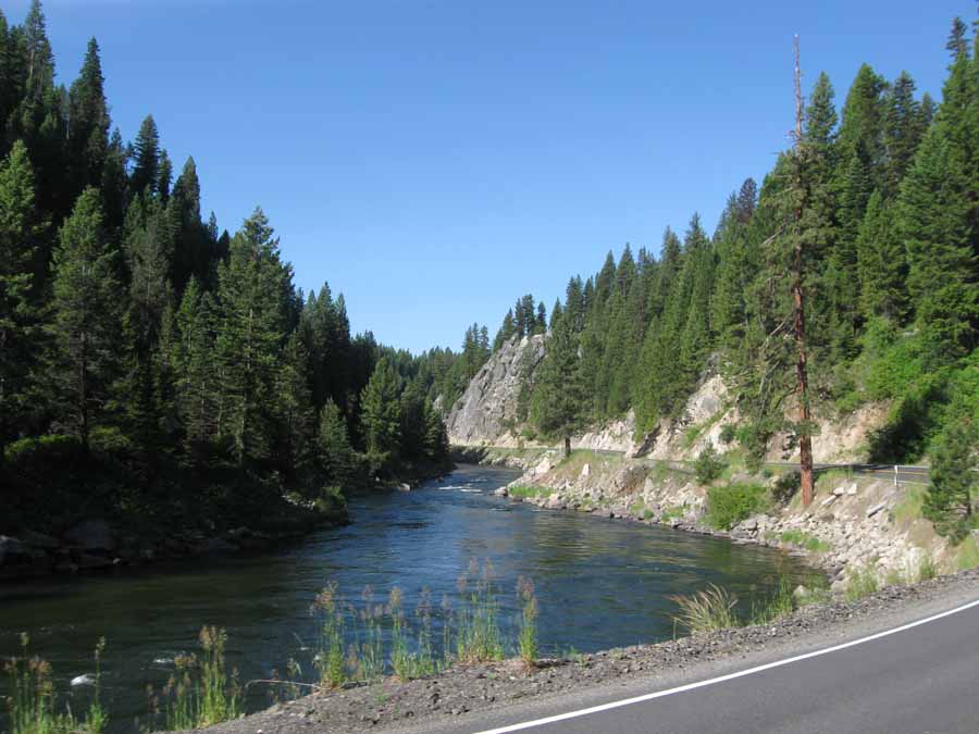
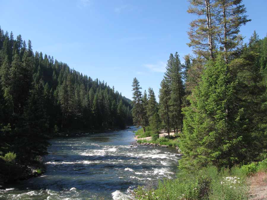
Today was something of a reverse of yesterday. Except instead of
climbing up to the prairie, I got to drop down off the prairie
into
the valley of the North Fork of the Payette River.
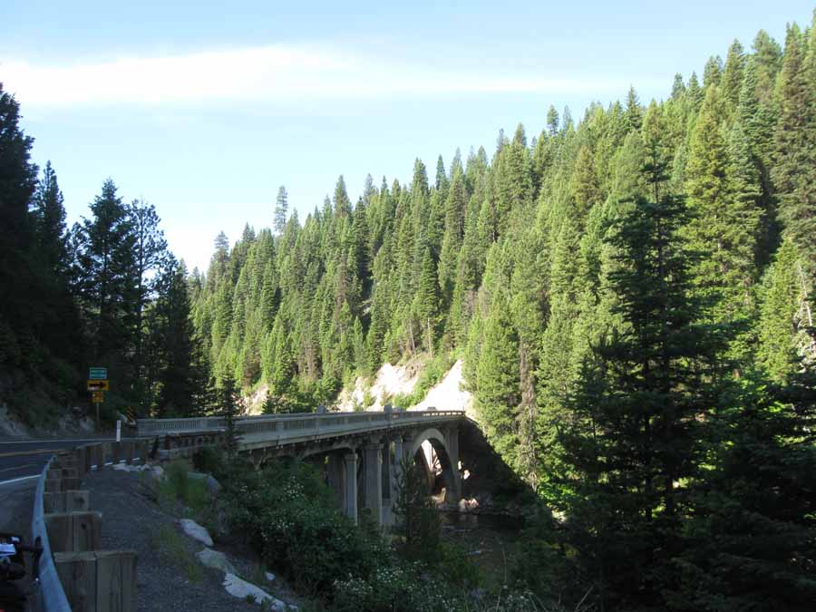
Which was pretty spectacular.
I didn't have to work hard for the first 52 miles. And sometimes I
got to coast for miles and miles.
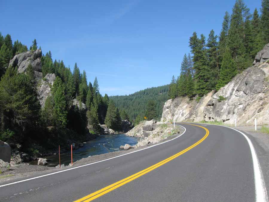
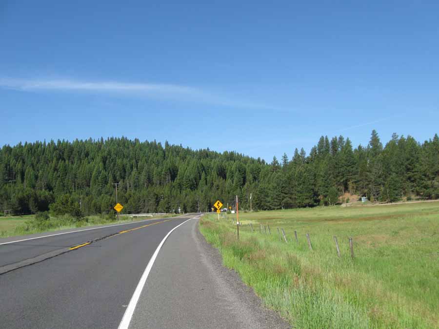
The road was pretty spectacular. Not much shoulder, and plenty of
traffic, but I didn't have any problems.
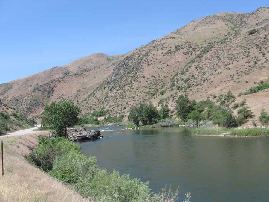
And I took most of my pictures on the move, like this one.
You can tell I stopped for this one because there isn't any road
in it.
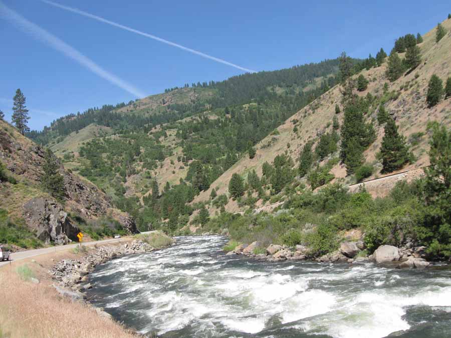
As I lost elevation, the forest gave way to that desert scrub
stuff. I dropped about 2000 feet over those 52 miles.
And then it got even more desert-like. I stopped for lunch in
Horseshoe Bend, which is where the descent ended.
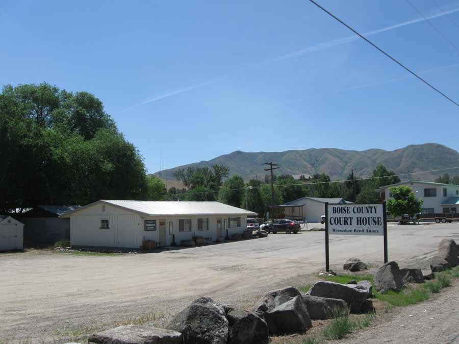
I love to take pictures of courthouses. The local governments
really like to show off their architectural sophistication.
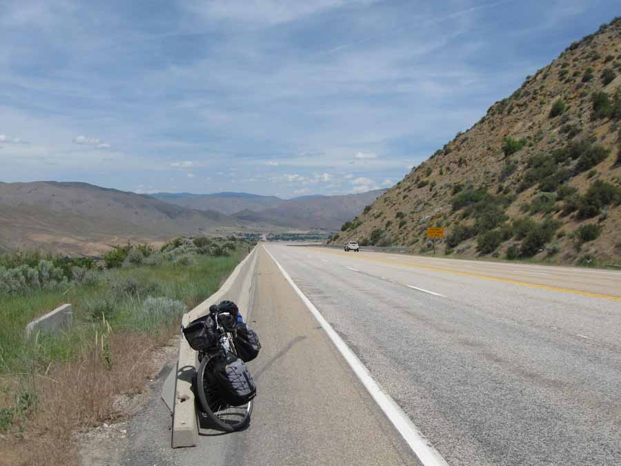
The 6-mile climb out of Horseshoe Bend should be the last major
climb of this tour. It took about an hour and a half.
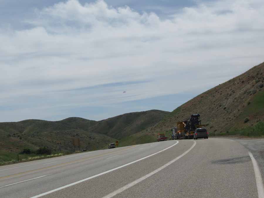
Not much to see at the summit. I went down ahead of that wide load
so it wouldn't slow me down. It didn't.
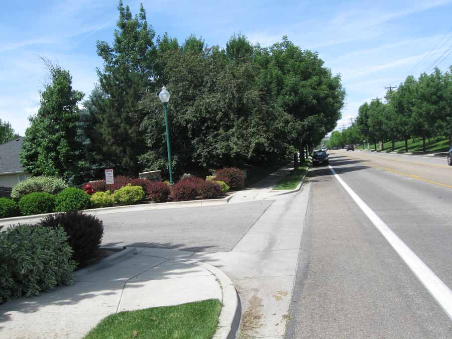
On the streets of Eagle. That idiot pulled over into the bike lane
right next to a "No Parking--Bike Lane" sign.
I had to stop and sit right behind her waiting for a whole line of
traffic to go by. She was playing with her phone.
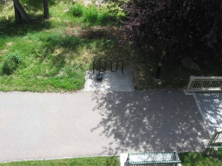
My hotel is perfect. My room overlooks the bike path I'll be on
tomorrow.
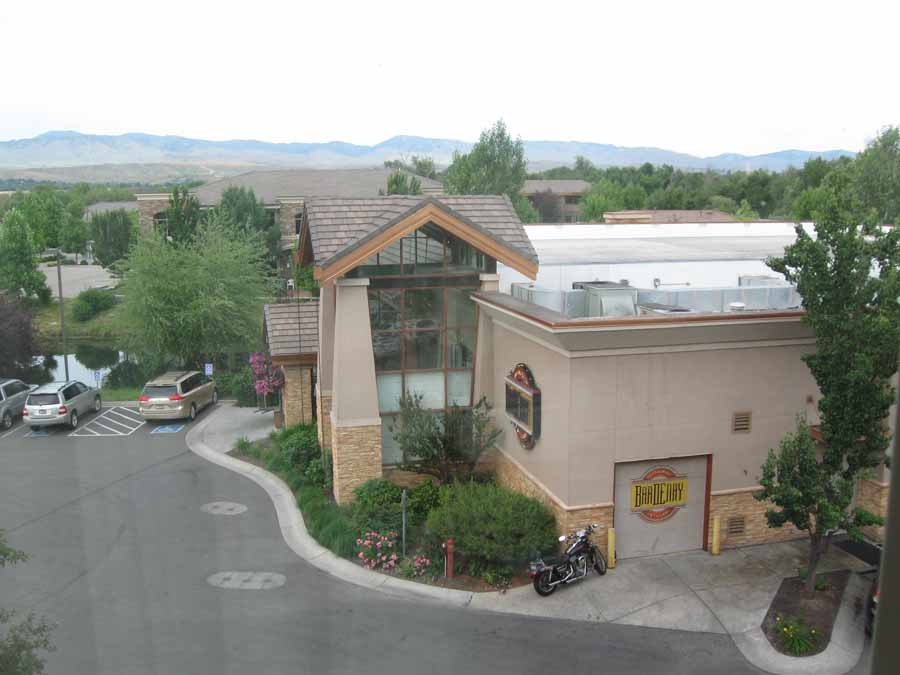
And there is a "restaurant/distillery" next door.
Next
"Northwest Tour 2015" Copyright © 2015 By Bob
Clemons. All rights reserved.