Day 4
Monday, 8 Jun 2015
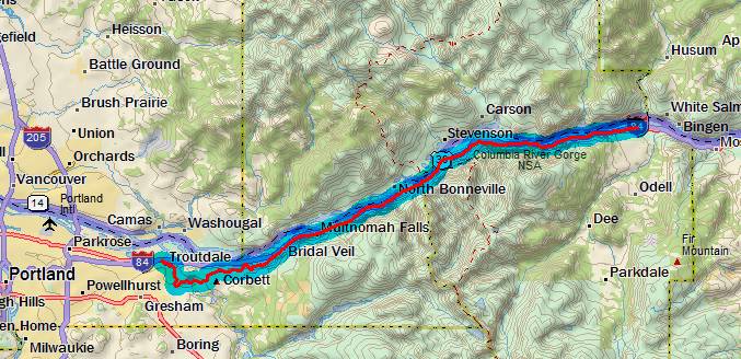
Troutdale, OR to Hood River, OR
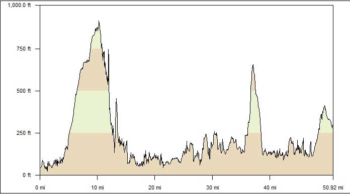
53.2 miles, 4h54m, 10.9 mph
Elapsed Time: 6h40m, Max speed: 42.0mph
Total Climbing: 3225ft, Max elevation: 890ft
Total mileage: 184.8

Day 4 was the best day yet. All because of the beautiful weather,
the requisite tailwind, and the Historic Columbia River Highway.
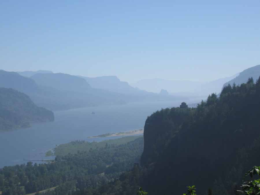
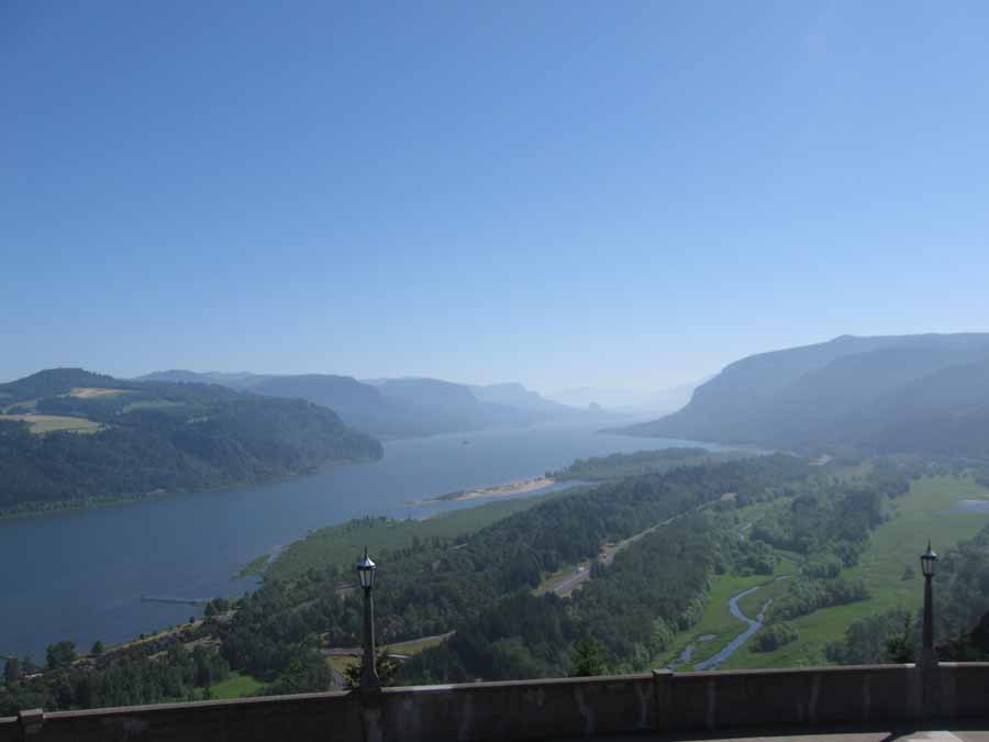
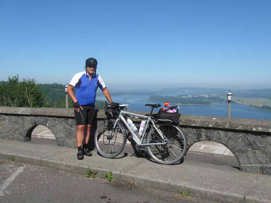
The day started out with several miles of climbing--resulting in
this. That's Vista House on the next ridge. It was a little hazy.
The weather has been unseasonably warm for the area with
temperatures in the 90s, but it doesn't seem that hot to me.
Probably because I'm used to it. Or maybe because everything is
better here--even heat.
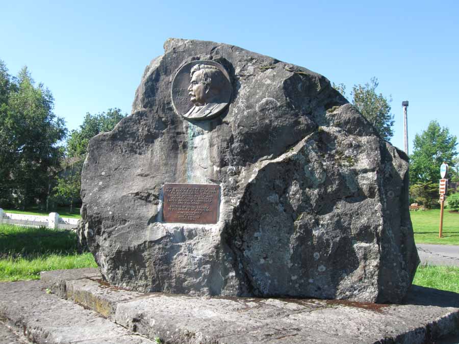
This is the guy responsible for the Historic Columbia River
Highway. Of course, at the time it wasn't historic. And this isn't
actually
the guy, it's just his face in a rock. His name was Sam Hill.
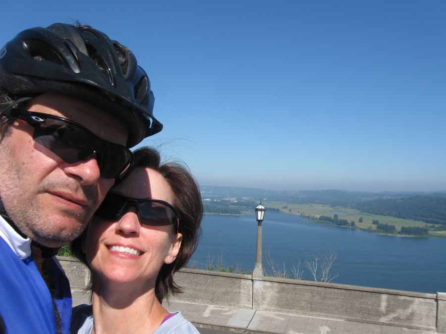
I get a lot of likes on FB when I include Linda in a picture.
Looking east from Vista House. I'm going as far as the eye can see
today.
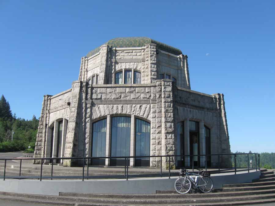
This is Vista House. Dedicated in 1918. It's got a museum and gift
shop in there. And restrooms made of marble. Yes it does.
I like this picture because I'm really sucking in my gut. And
there's a bear in it. In the picture--not in my gut.
The descent from Vista House was awesome. It's hard to describe in
pictures because it's hard to take pictures while
riding a bike down a twisty road at high speed. But it was
awesome.
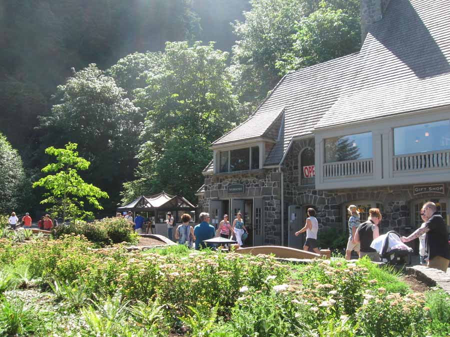
Multnomah Falls was crowded compared to everywhere else. I got a
cup of coffee and sat there for a while. Linda found me there and
when
I left she went off for a hike up to the top of the falls.
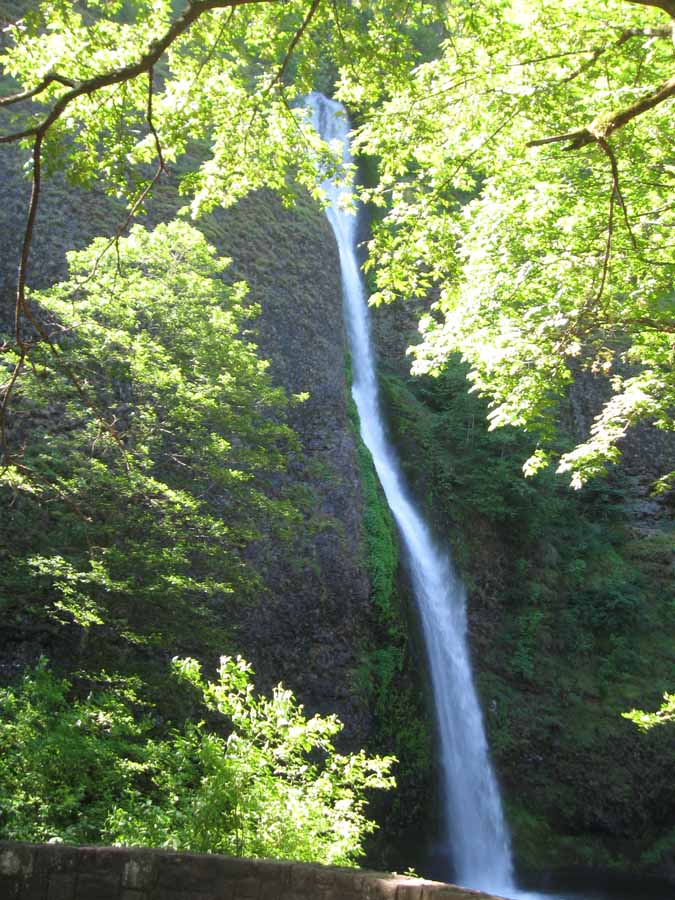
This is the only waterfall picture I took that was worth saving. I
believe it is Horsetail Falls. There are so many
waterfalls along the gorge that I kind of lost interest in them
after a while. Even Multnomah Falls--which is pretty
spectacular--was washed out by inconvenient sun positioning.
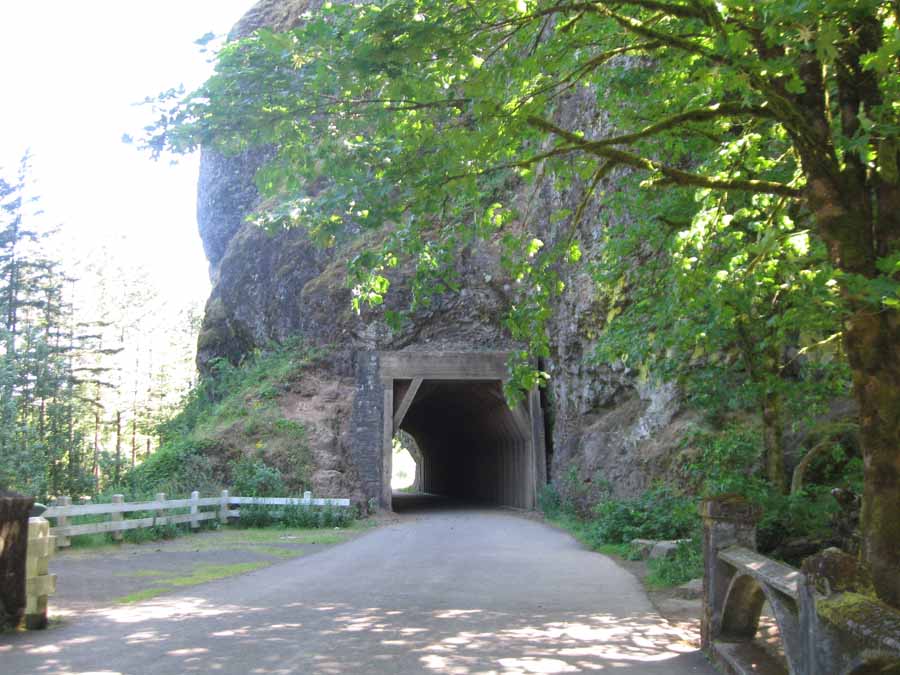
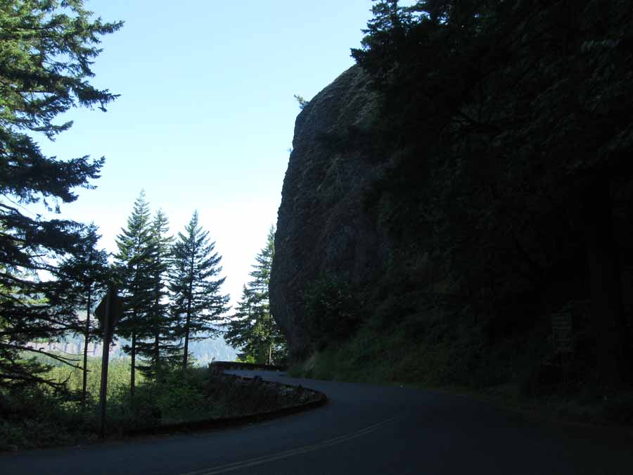
They dug this tunnel, and then when they decided it wasn't safe
anymore, they just went around the rock.
Why didn't they just go around in the first place? What in the
name of Sam Hill were they thinking?
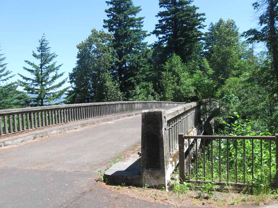
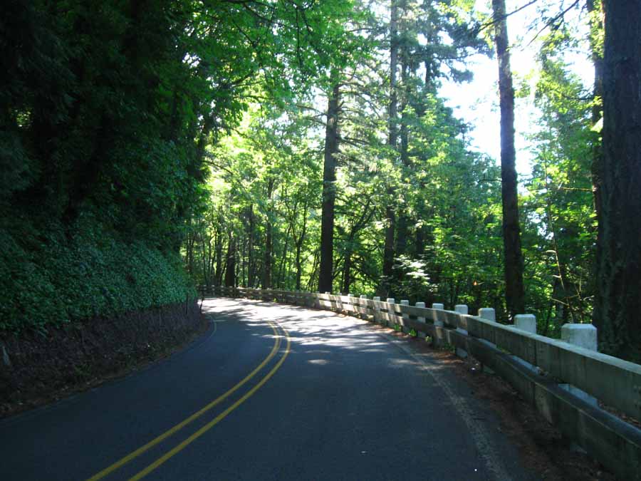
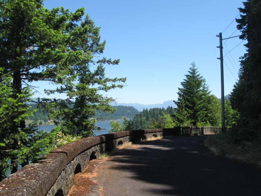
Parts of the Historic Columbia River Highway are now the Historic
Columbia River Highway State Trail. And whenever they
can, the trail follows the original alignment of the highway and
uses the original structures.
And it is spectacular.
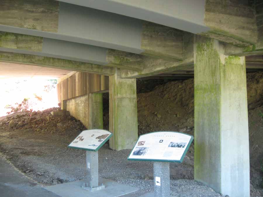
There are lots of these informative markers along the trail. These
are under the interstate.
This photo does a good job of conveying the awesomeness of this
trail.
Did I mention it was a beautiful day?
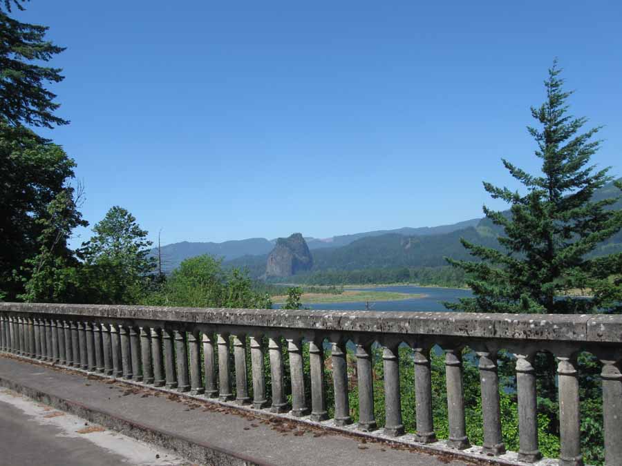
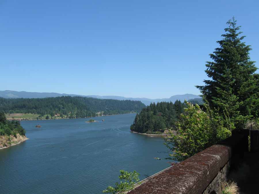
You can't get these views from a car. Not since the 60s anyway,
when they built the interstate and abandoned the Columbia River
Highway and
it became historic.
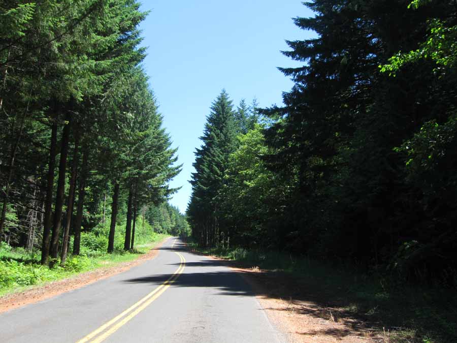
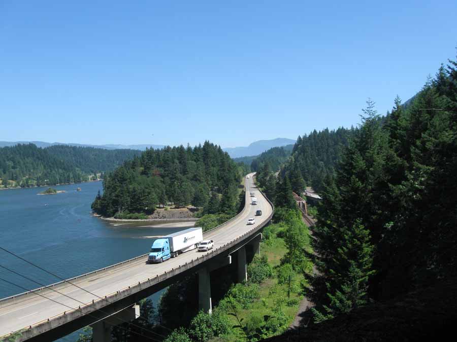
But finally I ran out of trail and I had to choose between this
road and the interstate. I chose this road.
Which led to another soul crushing climb and a screaming descent.
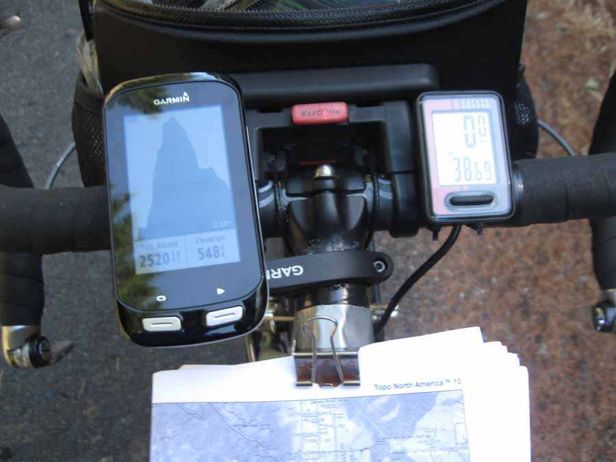
And I ended up on the interstate anyway. At one point I felt
something hit me on the knee, so I stopped see what it was and I
found my GPS
laying in the road. That was disturbing. So I did some roadside
repairs to better secure it. The GPS was fine, but now it has some
scars.
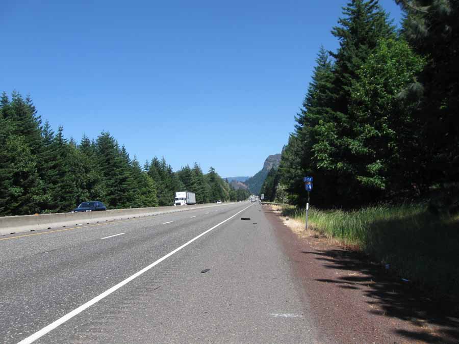
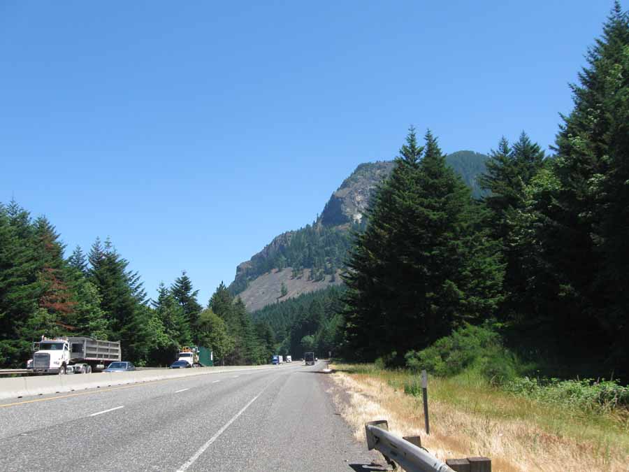
Riding the interstate isn't so bad, except for the noise, and the
lack of shade, and
the debris on the shoulder. At least I had a tailwind. I'm hungry.
Next
"Northwest Tour 2015" Copyright © 2015 By Bob
Clemons. All rights reserved.