Day 4
Saturday, 16 Jun 2012
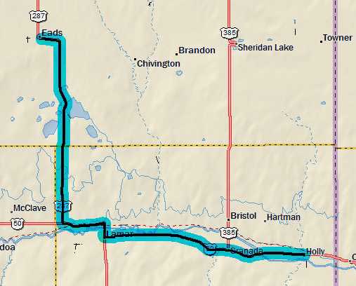
Eads, CO to Holly, CO
62.6 miles, 4h47m, 13.1 mph
Elapsed Time: 5h31m, Max speed: 21.5mph
Total Climbing: 802ft, Max elevation: 4223ft
Total mileage: 247.1

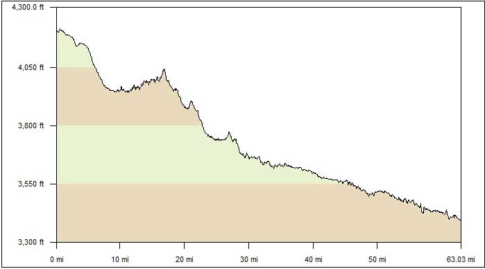
Looks like it was all downhill today except for those 10 miles near
the beginning. Sadly, the last 30 miles were into the wind, so I had
no idea I was going downhill. What a waste.
I decided to change my route slightly and head south to Lamar before
turning east toward Holly. It looked like this was a little shorter,
and I knew the road would be good, and the wind was coming out of
the northeast, so I figured I take advantage of the tailwind as long
as I could.
I got a little bit of a late start because of a hearty breakfast at
the place in Eads where the locals go. (It might actually be the
only place in town). The run down to Lamar was mostly fast.
Apparently I went by a large resevoir without seeing it. Must be I
was enthralled with the Car Talk podcasts I was listening to.
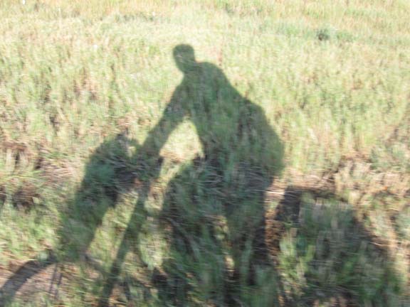
And I was screwing around with the camera.
I cannot emphasize how awesome this road is. Smooth. Properly
placed rumble strip.
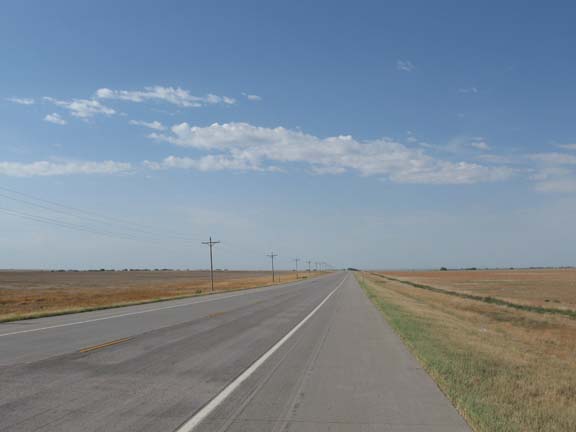
Yup. Nice road. I'll miss it. I miss it already.
I met Linda in Lamar at the Welcome
Center. Lamar has a few points of interest.
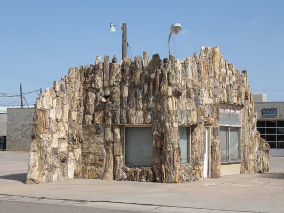
This used to be a gas station made from petrified wood. All that's
left is the facade.
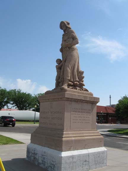
There's a Madonna of the Trail here. The DAR placed 12 of these
monuments to pioneer women along the route
of the National Old Trails Road (which is an interesting story in
itself).
This is the first one I've seen, although there is one in
Bethesda, MD.
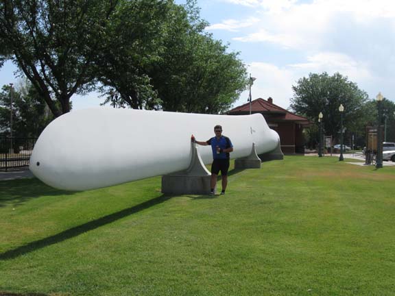
They have a giant windmill blade.
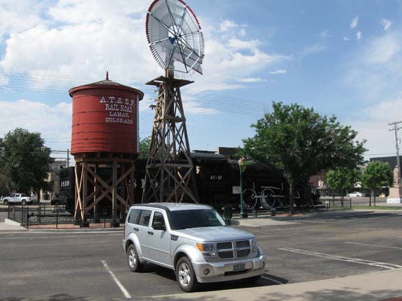
And a windmill, and a watertown, and a locomotive, and a Dodge
somethingorother.
I turned east at Lamar. For the
next several days I'll be riding along the old Santa Fe Trail.
So I'll be expecting to see lots of pioneer and old west stuff
along the way.
But the big change was the road. No more beautiful smooth
concrete. U.S. 50 is a patchwork of various surfaces. Some
smooth, mostly not. And not worth a picture.
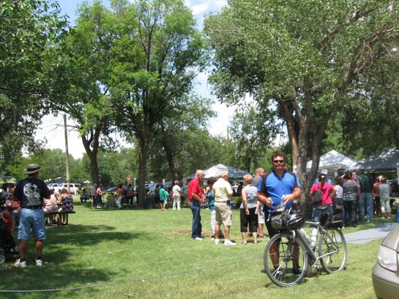
The guy in Lamar recommended a restaurant in Granada for lunch.
But it's the annual Granada Days
celebration so everything was closed. We joined in and grabbed
some dogs.
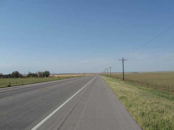
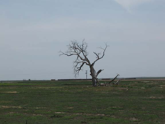
Although the Colorado highway map
shows US50 "scenic," it simply wasn't. At least not compared to
the vast vistas of nothingness I've gotten used to seeing. I
crossed the Arkansas River a couple times. Not worth a photo.
As good as it got.
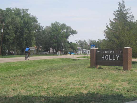
Finally I rolled into Holly and loaded up.
I may have mentioned that we were
supposed to stay in Holly, but there was no room at the inn. So
we got a room in Lamar. So we had to drive back there. So
tomorrow Linda will have to drive me back to Holly and drop me
off before she heads back to Denver and I make for Kansas.
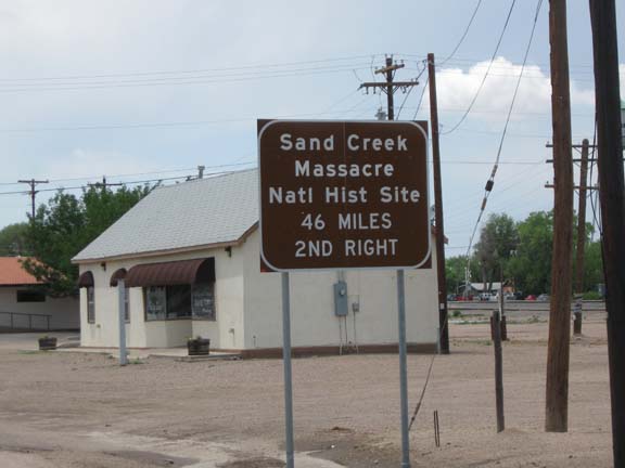
Not sure how helpful this sign is.
Continuing our "Shameful episodes
in US History" theme, on the way back to Lamar we stopped
to tour the ruins of the Amache Relocation Center, where 7000
Japanese-Americans were interned during WWII.
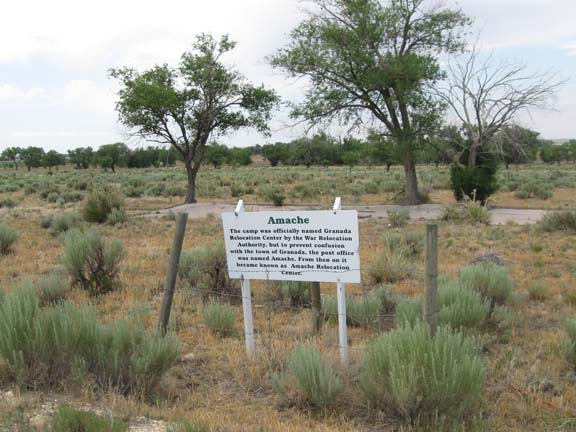
The barbed wire around the signs is a nice touch.
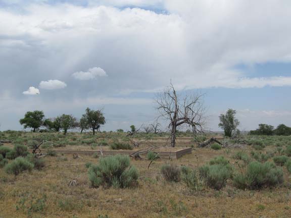
All that's left are the streets and the foundations of the
buildings.
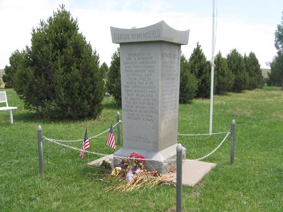
The cemetery includes a memorial to the 31 Amache internees who
joined the US army and
were killed in action.
Tomorrow I cross into Kansas to Garden City. Linda returns home, so
I'll be carrying all my own gear from now on. Old school.
Next
"Great Plains Tour 2012" Copyright © 2012 By
Bob Clemons. All rights reserved.