Day 2
Thursday, 14 Jun 2012
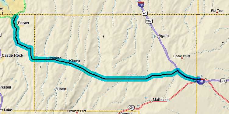
Parker, CO to Limon, CO
74.5 miles, 6h16m, 11.8 mph
Elapsed Time: 7h41m, Max speed: 44.0mph
Total Climbing: 3340ft, Max elevation: 6704ft
Total mileage: 100.8

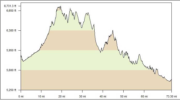
Wow! Look at that profile. I gotta say I had no idea I was going
downhill for the last 25 miles. The wind, which had been fairly nice
to me all day, suddenly turned against me at the end.
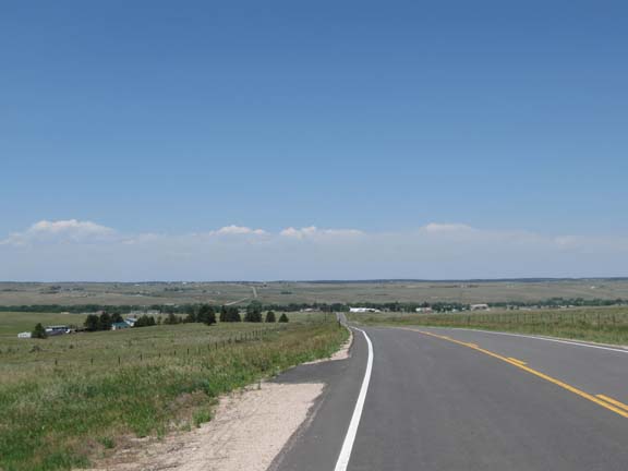
I slept in until 6:40 and hit the road about 8:30. I meandered
around until I found the Cherry Creek Trail again and headed
south...and uphill.
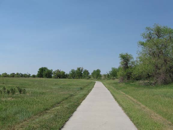
Same trail as yesterday. It was nice. Lots of snakes.
It was considerably cooler than
yesterday--the breeze was from the north. And it even helped a
bit on the trail. But after 12 miles it was time to leave the
trail and hit the road.
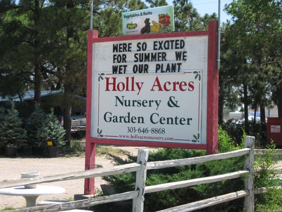
Plant nursery humor.
There was quite a bit more
climbing. Then some descending. Including a frightening downhill
where I hit 44mph while fighting a stiff crosswind.
I kept expecting to drop down out of the hills onto a flat plain.
But that never happened.
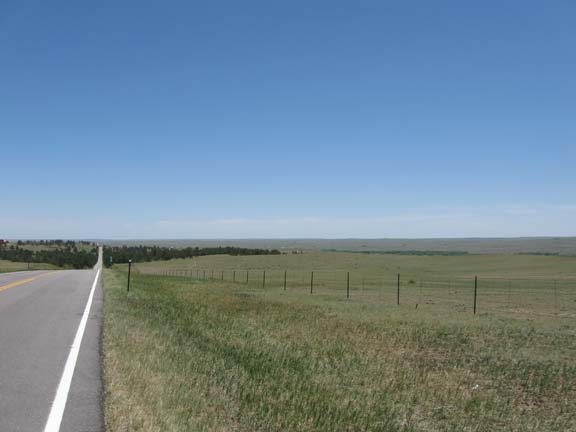
Just the same scenery for hours and hours.
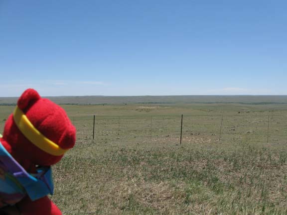
The bear was unimpressed.
I stopped for lunch in Kiowa. That
was good.
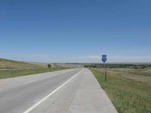
Finally, after endless climbing and descending, I reached I-70. So
I got on.
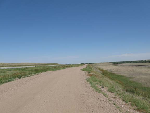
But then I got off and rode the dirt service road into Limon.
We chose the wrong restaurant for
dinner, so we got McDonald's shakes for dessert.
Tomorrow I ride to Eads.
Next
"Great Plains Tour 2012" Copyright © 2012 By
Bob Clemons. All rights reserved.