Day 6
Tuesday, 2 Jun 2009
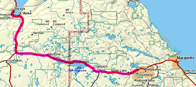
Baraga, MI to Ishpeming, MI
59.0 miles, 4h54m, 12.0 mph
Elapsed Time: 6h09m, Max speed: 29.7mph
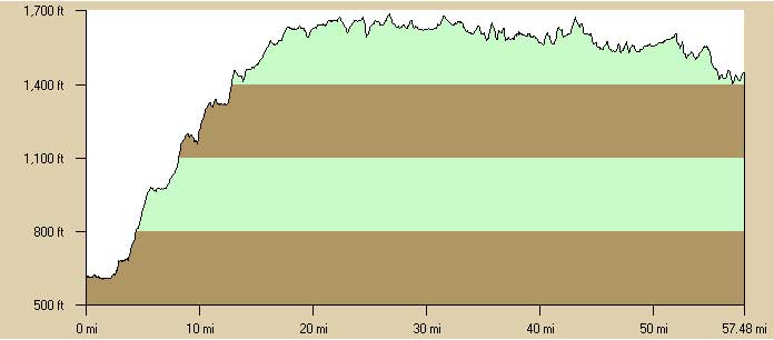
Total Climbing: 2643ft, Max elevation: 1687ft
Total mileage: 319.3

So, I changed my plans--reducing the distance today and extending
the
distance tomorrow--because the weather was supposed to be lousy
today
and good tomorrow. It was good today. Not great--it was still
cold--but
it didn't rain and the sun was out most of the time. I could have
easily ridden an extra 15 miles into Marquette, but here I am in
Ishpeming. Anyway, by the look of that profile, I've got about 800
feet
of elevation in the bank, and it's gotta be downhill all the way to
Marquette.
I rolled out of Baraga at about 8am after a fine breakfast at the
Best
Western. The first few miles were flat. I could see already that it
probably wasn't going to rain.
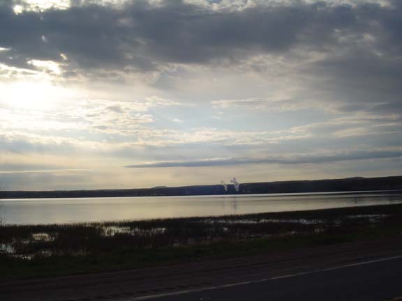
A fine morning on Lake Superior.
About two miles in I came to the first attraction of the day: The
Shrine of the Snowshoe Priest. The Shrine is a 35 foot statue of
Bishop
Frederic Baraga. According to the brochure it is the "Most Historic
Non-Denominational Shrine in the Midwest." I took a picture from the
highway but didn't go in because the road wasn't paved. I
guess I
just wasn't that interested. For more on the Shrine go here.
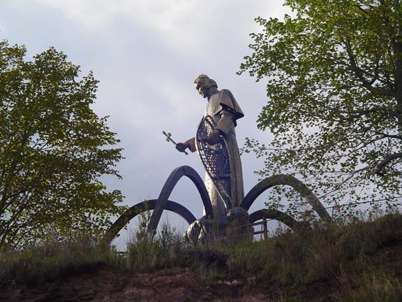
The Snowshoe Priest looks out over Lake Superior.
As I passed the priest, the road curved inland, away from the lake.
For
the next 15+ miles the road gradually climbed about 1000 feet. It
was
tedious, and there was a headwind, so it was painful and slow.
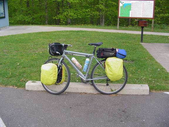
This is what my bike looks like in bad weather trim.
Yes, I am carrying a tent. Someday I may use it.
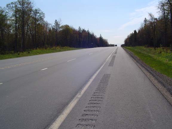
The road was of very fine quality today.
Eventually I reached the top of the climb, then the road turned east
and just stayed up there all day. Now the wind helped more than it
hurt. Since the sun was out I stopped and smelled some figurative
roses
and photographed a few things here and there.
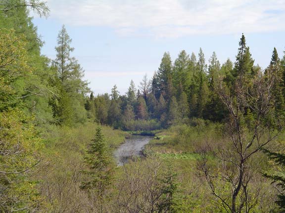
Like this stream.
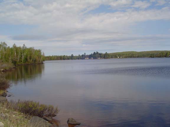
And this lake. The water here has a strange red tint. I assume
it's
iron.
I stopped for a snack in Michigamme, where I saw my first oversized
animal of the day.
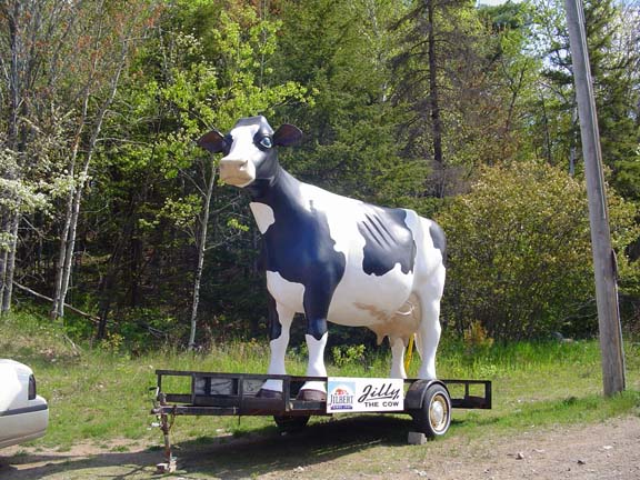
Well, what do you expect?
There were a few attractions in the Ishpeming area that I wanted to
visit. By far the most fascinating was Da Yoopers
Tourist
Trap, which is a yard full of bizarre inventions thought up by
people with too much time on the hands and plenty of junk laying
around. It's really an excuse to have a gift shop.
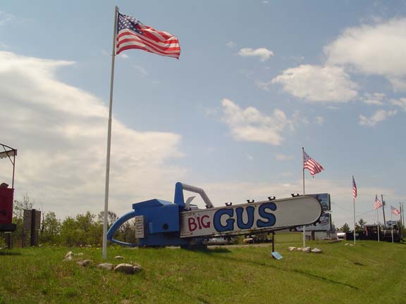
Big Gus, the world's largest chainsaw.
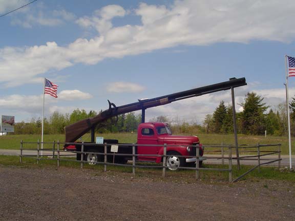
Big Ernie, the world's largest rifle.
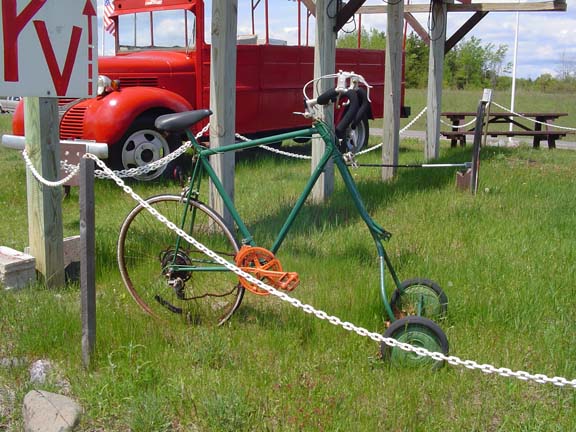
Yooper's lawn mower.
Needless to say, there is much, much more. And all of it works.
Well,
I'd believe that all of it worked at one time. Now most of the stuff
looks in need of maintenance. Gus's blade is rusty. That lawn mower
needs a new chain.
Due to an unfavorable traffic light (the first I'd seen in days) I
turned right and accidentally stumbled into downtown Ishpeming. The
only thing of note was a mining museum (which was closed) and this
cool
mine shaft thingy building (I think that's what they call 'em).
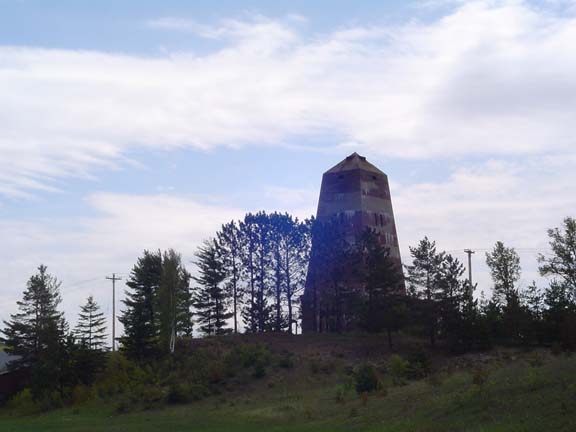
It kind of dominates the Ishpeming skyline.
From there is was about 200 yards to the Best Western. Tomorrow I
plan
to coast down into Marquette and then work my way along the coast to
Munising. If I can get there by 1pm I should be able to get a boat
tour
of Picture Rocks National Lakeshore. It shouldn't be a problem. I
just
hope the weather stays good.
Next
"Great Lakes Tour 2009" Copyright © 2009 By
Bob
Clemons. All rights reserved.