Day 11
Tuesday, 4 July 2006
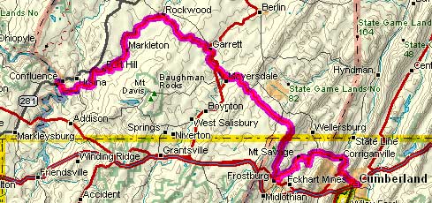
Confluence, PA to Cumberland, MD
64.9 miles, 5h15m, 12.3 mph
Elapsed Time: 6h21m, Max speed: 32.0mph
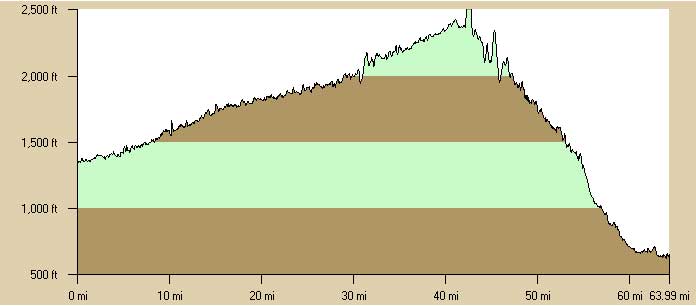
Total Climbing: 574ft, Max elevation: 2352ft
Total mileage: 822.2

I started riding at about 7:45 after a hearty breakfast at the Sisters'
Cafe. It was overcast and very humid. It looked like it was
going to rain, but it never did.
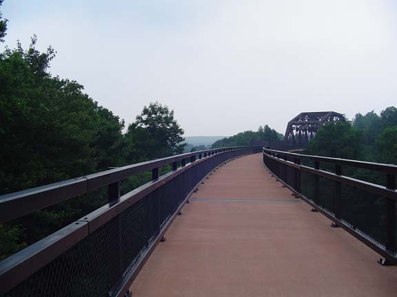
At Confluence the trail switches from the Yough to the Casselman River
(that would be the other river involved in the confluencing). It
was way more interesting right away. There were a whole bunch of
places where the trail crossed high above the river...
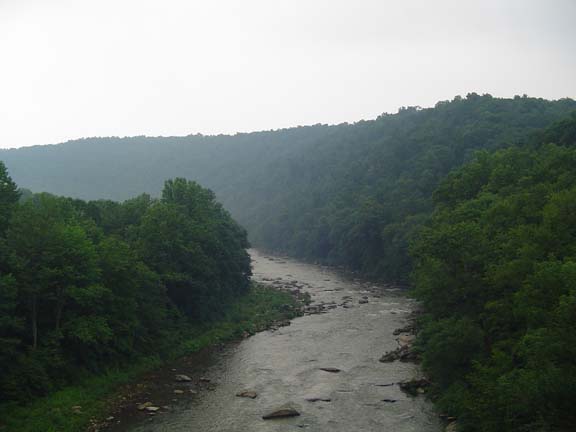
...like here...
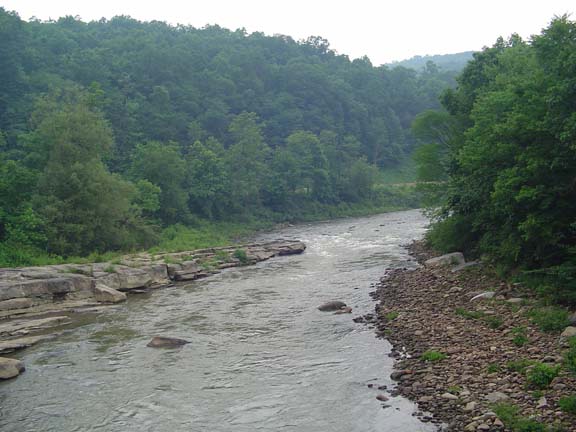
...and here.
The Pinkerton Tunnel cut off a big loop in the river, but it was closed
so I had to ride around on a particularly crappy detour.
Apparently the Pinkerton Tunnel is not very long.
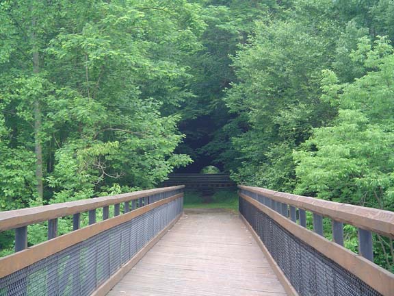
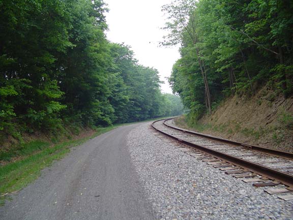
This stretch of trail was typically much better than the other
sections, except that they liked to throw down a lot of rough gravel at
all the road crossings for some reason.
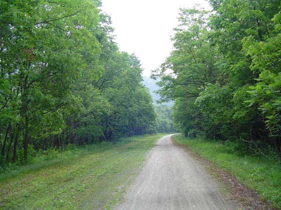
Typical day 11 trail.
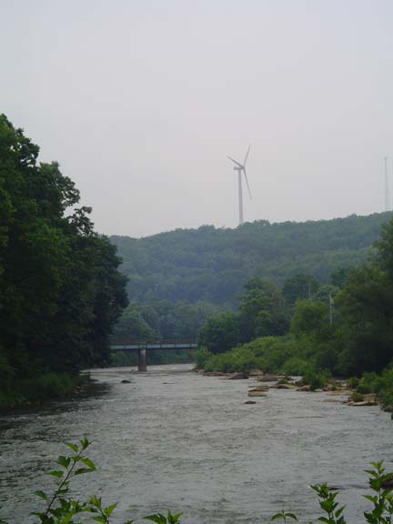
These hills are lousy with windmills.
The Salisbury Viaduct was particularly impressive. It crossed a
river, a highway, some fields, some more fields, another road, some
trees, and some other stuff.
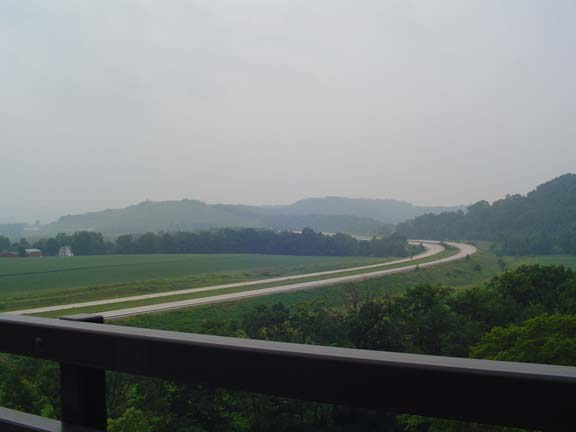
Stunning view of an empty highway from the Salisbury Viaduct.
I don't remember where this was.
Eventually the trail climbed a small hill and went under a road.
Then on the other side, suddenly I was going downhill. I'd almost
forgotten the thrill of a free ride. It turns out the climb was
about 130 miles and the descent was about 20 miles. But the
descent was steeper. Woo-hoo!
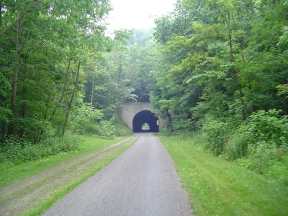
Soon after beginning the descent, I came to the Big Savage
Tunnel. At 3294 feet, it's longer than the Paw Paw Tunnel--and
there's not a canal in it. So it's much less scary.
Big Savage Tunnel
On the other side of the tunnel there's a beautiful vista that I
couldn't see because of the clouds and haze. But it would have
been spectacular.
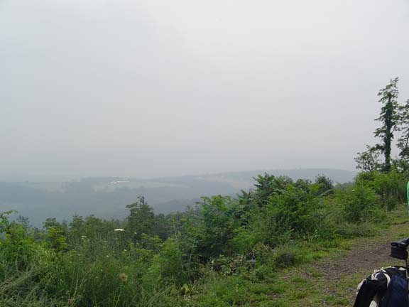
Haze-obscured vista.
At some point shortly after leaving the tunnel, I crossed back into
Maryland. Apparently the border was marked by a row of yellow
posts
stuck in the ground, but I don't recall a sign.
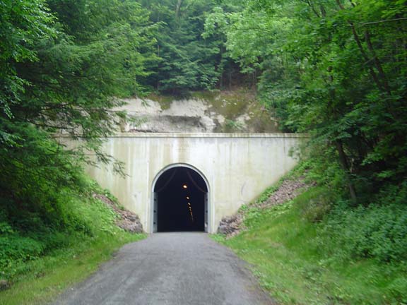
This is the Borden Tunnel. It's not very long, so I figured I
would make a movie of me riding through it. I didn't figure on
the Allegany County Sheriff's Department getting in my way.
Borden Tunnel
So I turn on my camera and start to ride through. I was about
halfway through when I heard a motor approaching from behind. It
was getting louder and louder. I swear I thought a train was
coming. There are no train tracks in the tunnel, but this was no
time for rational thought. I pulled over to the right (in the
dark) and stopped. It was an ATV driven by the deputy who patrols
the trail. I was relieved that I wasn't going to be hit by a
train, and I thought I'd have a good movie anyway. Turns out my
camera batteries died and I had nothing. D'oh! I put in new
batteries.
By the way, I also put a new battery in my bike computer, so my
altimeter readings should be more realistic from now on.
Later I talked a little bit to the deputy. He says his full-time
job is to patrol this 20 mile stretch of trail. Mainly he chases
off dirt bikes and ATVs. As he said, "It sure beats handling
domestic disturbances at 3 o'clock in the morning." Not a bad gig.
Now here I could have been hit by a train!
The trail is not yet finished all the way to Cumberland. For now
it ends at Woodcock Hollow Road, which by the way, is a screaming
descent to MD36. Woo-hoo!
MD36 is a beautiful cycling road. Smooth surface. Gigantic
shoulders. No traffic. Downhill all the way.
Just perfect.
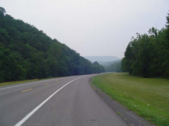
Why can't more roads be like MD36?
I'd read that the area called The Narrows was going to be nasty.
That there is "absolutely no shoulder" and lots of high-speed
traffic. It turns there is a shoulder--it's only 2 feet wide--but
that's plenty for me. The speed limit is 30mph, so there is no
high-speed traffic. Also, it was downhill. A couple of
minutes later I pulled in to the Holiday Inn. Later I expect to
meet up with a group from PA that I met on the trail. They are
next doing the C&O Canal and need directions through my
neighborhood to get back to PA from DC.
Tomorrow I ride to Hancock. It's not very far, but I'm taking the
hilly route. We'll see how it goes.
Previous
|
Next
"Erie Canal (and more!) Tour 2006" Copyright © 2006 By
Bob
Clemons. All rights reserved.