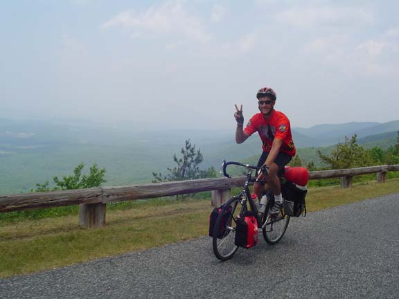
This was somewhere on the climb.
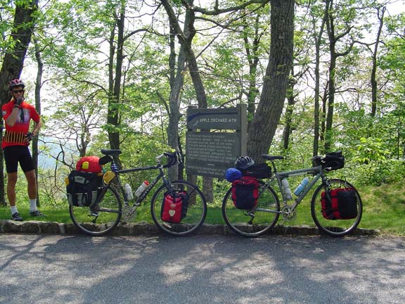
This is the top.
We coasted several miles down to Peaks of Otter where we ate lunch at
the restaurant and stocked up on fluids at the camp store. Then it was
back to the road.
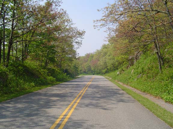
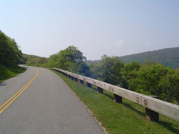
This is the road.
In some places the road ran along the top of a ridge with nice drop
offs on both sides.
Like here.
Finally we descended into the Roanoke area. The road got worse and he
traffic got heavier (apparently the locals use the Parkway as the
beltway Roanoke never had). The plan was to get off the Parkway and
head into town to the Quality Inn. But the traffic on the road leading
to town was way too heavy and way too fast and there was way too little
shoulder. So we checked in to a more economical place near the Parkway.
They did my laundry. It's all working out.
Tomorrow is Kevin's last day on the road. The planned destination is
Meadows of Dan.